Subscribe
72°

State Of Emergency Declared In Nassau County As Powerful Nor'easter Looms
States of emergency are being declared across parts of New Jersey and New York as a powerful Nor’easter threatens the region with damaging winds, heavy rain, coastal flooding, and power outages through the weekend.
In New Jersey, Gov. Mikie Sherrill declared a state of emergency for Atlantic, Burlington, Cape May, Cumberland, Middlesex, Monmouth, Ocean, and Salem counties, effective at 5 p.m. Friday, Sept. 25.
Starting Friday night, the storm is expected to bring strong winds, heavy rain, significant coastal flooding, and beach erosion, with those eight counties facing the greatest risk, Sh…
Video: Tornado Rips Through Long Island Beach Club, Damaging Cabanas, Buildings
A tornado that began as a waterspout off Long Island tore through a private beach club, damaging dozens of cabanas and other structures and forcing two clubs to close indefinitely.
The tornado touched down at the far west end of Atlantic Beach between 6:30 and 7 p.m. Thursday, Aug. 20, the National Weather Service confirmed. Radar, video of the waterspout coming ashore, and damage near the Sun and Surf Beach Club confirmed the touchdown, the agency said.
Sun and Surf, located in the Village of Atlantic Beach, said the tornado caused "significant damage to numerous cabanas and buildings."
V…
Latest Town-By-Town Snowfall Totals As Massive Storm Slams Long Island, Tristate
Here's a rundown of updated snowfall totals from downstate New York, northern New Jersey, and Connecticut for a historic, massive Nor'easter that arrived Sunday night, Feb. 22, continuing into Monday, Feb. 23.
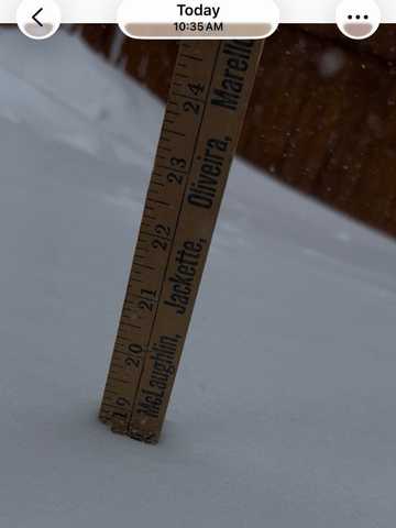
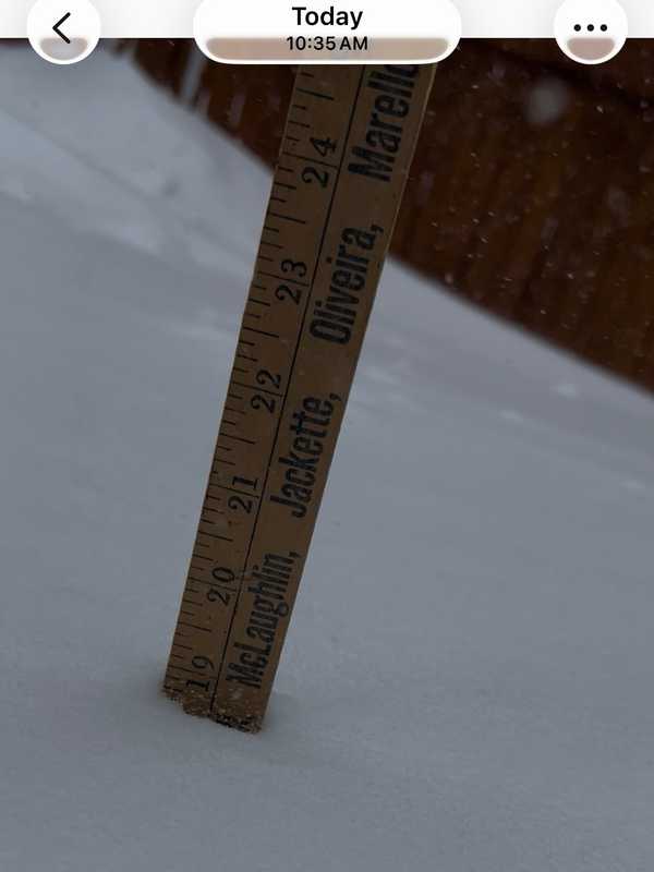
Some spots had already seen as much as 20 inches by mid-morning Monday, and approached 30 inches later in the day.
Central Park in Manhattan recorded 19.7 inches, making it the heaviest snowstorm for the city in over five years and nearly approaching all-time records.
Over 650,000 customers lost power across the region, with the heaviest outages concentrated in New Jersey, Massachuse…
Winter Storm Watch Issued for Hudson Valley, LI: Up To 13 Inches Of Snow Forecasted
A Winter Storm Watch has been issued for parts of the Hudson Valley, New York City, and Long Island as a strengthening storm system could bring heavy snow and strong winds to the region late this weekend.
The National Weather Service in New York said the watch is in effect from Sunday morning, Feb. 22, through Monday afternoon, Feb. 23, for portions of southeast New York, including Orange, Putnam, Rockland, Westchester, New York City, and Nassau and Suffolk counties on Long Island.
Forecasters say 6 to 10 inches of snow are possible, along with wind gusts up to 40 mph. Tra…
State Of Emergency Declared In NY As Heavy Snow Targets Hudson Valley, NYC, Long Island: Hochul
New York Gov. Kathy Hochul has declared a State of Emergency as a major winter storm threatens to bring heavy snowfall, dangerous travel conditions, and possible power outages across much of New York — including the Hudson Valley, New York City, and Long Island.
The emergency declaration, announced on Friday afternoon, Dec. 26, covers more than 40 counties, including Dutchess, Orange, Putnam, Rockland, Ulster, Columbia, Greene, Albany, Nassau, Suffolk, Rensselaer, Saratoga, and Westchester counties, as forecasters warned of four to eight inches of snow across the Mid-Hudson region and …
Freeze Warning Issued For Lower Hudson Valley, Long Island, NYC
Bundle up, New Yorkers — the first widespread freeze of the season is on the way.
The National Weather Service has issued a Freeze Warning for large portions of southeast New York, including New York City, Long Island, Westchester County, and parts of the Hudson Valley, effective from 1 a.m. to 9 a.m. on Tuesday, Nov. 11.
Forecasters say temperatures will fall to between 30 and 32 degrees, which could kill crops and other sensitive plants.
According to the NWS, the warning covers southern Westchester County, New York City, and Nassau and Suffolk counties.
Residents …
Utility Crews Preparing For High Wind Event In Hudson Valley, Long Island: Advisory Issued
Utility crews in the Hudson Valley are preparing for a blustery night ahead, as the National Weather Service issues a Wind Advisory warning of gusts up to 45 miles per hour overnight Wednesday, Nov. 5, through early Thursday, Nov. 6.
The advisory, in effect from 9 p.m. Wednesday to 8 a.m. on Thursday, covers Orange, Rockland, Putnam, and northern Westchester counties, along with parts of southern Connecticut and northern New Jersey. A separate advisory also covers Nassau and Suffolk counties.
Forecasters said sustained west winds of 15 to 25 mph could bring down tree limbs and c…
High Wind Watch Issued For Long Island, Hudson Valley, NYC: Gusts Up To 60 MPH Possible
The National Weather Service has issued a High Wind Watch for much of the Hudson Valley, New York City, and Long Island, warning of potentially damaging gusts into Thursday morning, Nov. 6.
According to the alert, issued just before 1 p.m. on Tuesday, Nov. 4, west winds of 20 to 30 mph are expected, with gusts possibly reaching 60 mph in some areas, including Orange, Putnam, Rockland, Suffolk, Nassau, and Westchester counties.
The NWS warns that the powerful winds could knock down trees and power lines, leading to widespread outages and hazardous travel conditions — especially f…