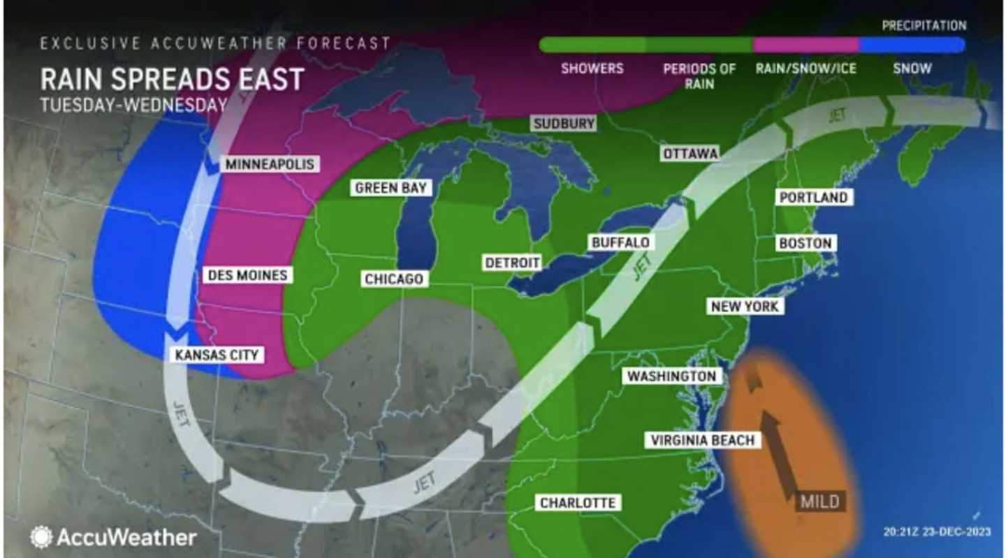
Ahead of the arrival of the system, there will be patchy fog at times overnight Monday, Dec. 25 into late Tuesday morning, Dec. 26.
Tuesday will be cloudy and mild with a high of around 50 degrees. It will be dry most of the day before the arrival of the storm overnight into Wednesday, Dec. 27.
"A quick-moving storm system will likely bring 3/4 to 1 1/2" of rain, reasonable worst case of 2 inches Wednesday into Wednesday night," the National Weather Service said in a Hazardous Weather Outlook statement issued early Christmas morning.
"With streamflows and soil moisture still running high, there is potential for minor flood stages to be reached along a few to several quick responding streams in this area if the high end of rainfall forecast is reached."
Wednesday will start with scattered showers before the system picks up in intensity with rain becoming steady in the afternoon and evening. The daytime temperature will hold steady at around 50 degrees.
Thursday, Dec. 28 will be mostly cloudy and mild with a high temperature reaching the low 50s in some spots, and a chance for spotty showers.
There will be more scattered showers on Friday, Dec. 29 which will be a cooler day with high temperatures in the low 40s.
Check back to Daily Voice for updates.
Click here to follow Daily Voice Nassau and receive free news updates.