Expect cloudy intervals amid mostly sunny skies on Sunday, July 21, with a slight chance of isolated showers in the afternoon due to a weak surface low-pressure trough, according to the National Weather Service.
High temperatures should be near normal in the mid to upper 80s.
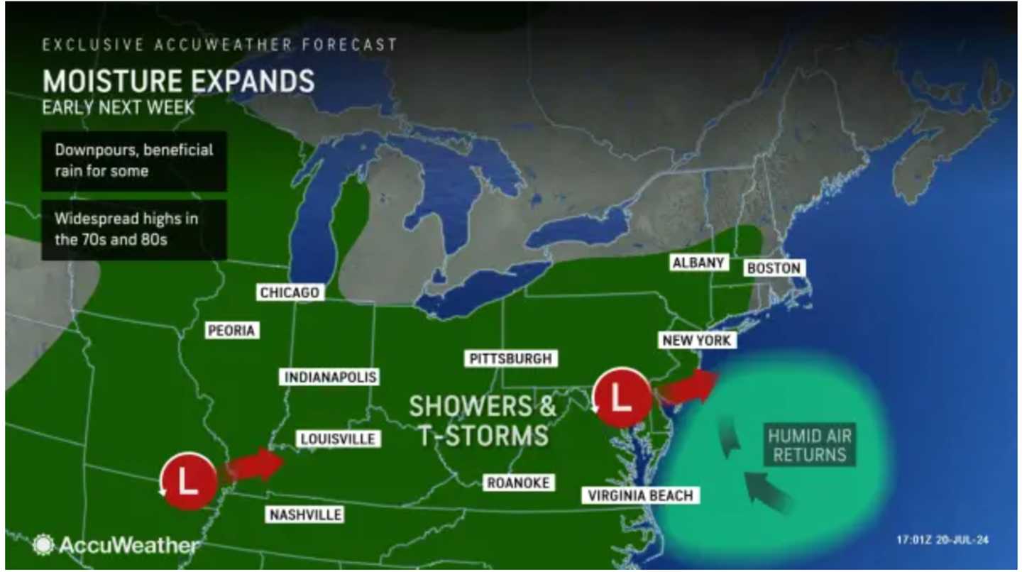
Clouds will thicken on Monday, July 22 as unsettled conditions arrive, keeping the high temperature from climbing much higher than the low 80s.
There's a slight chance of showers in the afternoon, followed by a 50-50 shot for showers and thunderstorms in the evening,
Tuesday, July 23, will be mostly cloudy, with a high temperature in the low 80s.
There is a chance of afternoon showers and storms, followed by possible showers at night.
Clouds will linger on Wednesday, July 24 with a high temperature just above 80 degrees and a chance for scattered showers during the day and again at night.
The chance for storms will return Thursday, July 25, on another mostly cloudy day with temperatures ranging from the low to mid-80s.
The storm chance will start in the early afternoon and continue until around 8 p.m.
Check back to Daily Voice for updates.
Click here to follow Daily Voice Brentwood and receive free news updates.