Find Your Daily Voice
 45°
45°
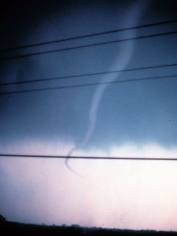
Separate Rounds Of Storms Knock Out Power In Hudson Valley
Only a few days after a freakish storm system brought historic flooding to the Hudson Valley, severe weather is unleashing more destruction, resulting in over 10,000 people being left without power as of late Friday morning, July 14.
The outages were caused by several rounds of severe thunderstorms that arrived in the region on Thursday night, July 13, and continued into Friday, bringing downpours, gusty winds in excess of 55 miles per hour, and even one-inch hail in some cases, according to the National Weather Service.
Earlier Report - Line Of Severe Storms Sweeping Through Re…
Severe Weather Threat Upgraded For Much Of Region
The threat of severe weather from an approaching round of thunderstorms has just been upgraded for most of the region.
Storm activity is expected from west to east from 6 p.m. to 11 p.m. Saturday, April 1.
The area covers New York City, Long Island, Westchester, Rockland, Putnam, and Orange counties, and Fairfield, New Haven, Middlesex, and New London counties in Connecticut. (See the image above.)
"The Storm Prediction Center has placed the area in an enhanced risk of severe thunderstorms this evening," the National Weather Service said in a statement issued mid-Saturday afternoon. "…
Caught In Historic Blizzard, NY Mom, Kids Find Overnight Refuge At Target Store (Photos)
Jessica Sypniewski was a mom on a mission: to find some place, any place, where she and her boyfriend, along with their 11-year-old daughter and 7-year-old son, could take refuge from the blinding snow and howling winds of a historic, deadly blizzard that had barreled down in western New York just before Christmas, and lasting days.
The 33-year-old Erie County resident, of West Seneca, told Daily Voice the family had set out Friday morning, Dec. 23, to pick up a relative on the other side of town. On the way back, however, they found themselves caught in one of the worst winter storms the r…
Nor'easter: State Of Emergency Declared For These Hudson Valley Counties
New York Gov. Kathy Hochul has declared a state of emergency in parts of the Hudson Valley as several inches of rain and whipping winds are expected to impact the area.
Hochul issued the declaration late on Monday, Oct. 25, and it is expected to last through early on Wednesday, Oct. 27 as rainfall topping four or more inches are likely incoming, with some areas seeing more than an inch of rain per hour, creating potential flash flooding concerns.
In the Hudson Valley, a state of emergency has been issued for Orange, Putnam, Rockland, Sullivan, Ulster, and Westchester counties.
Related sto…