
Here's a look at what's coming.
Friday, Dec. 11 will be mostly sunny and unseasonably mild with the high temperature around 50 degrees.
Skies will become mostly cloudy overnight with patchy fog and a low temperature in the upper 30s.
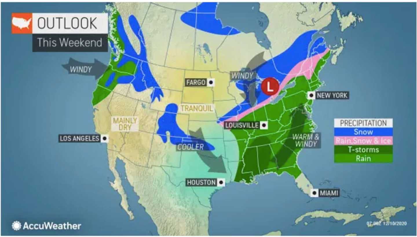
Rain will arrive late Saturday morning, Dec. 12, with patchy fog at times through the afternoon and into the evening. The high temperature will be in the low 50s.
The temperature will hold steady in the upper 40s overnight with cloudy skies and scattered showers.
The chance for showers will continue through around noontime on Sunday, Dec. 13.
It will become partly sunny during the afternoon with the high temperature climbing to the mid 50s.
Monday, Dec. 14 and Tuesday, Dec. 15 will be partly sunny with a high temperature both days in the upper 30s to low 40s.
The time frame for the potential blockbuster storm is Wednesday, Dec. 16 into Thursday, Dec. 17. (See second image above.)
If the storm develops to its potential, up to a foot of snowfall accumulation is possible in the interior Northeast, said Accuweather.
Click here to follow Daily Voice Nassau and receive free news updates.