Find Your Daily Voice
 47°
47°
Eye Of The Storm: System With Damaging Winds Causing Power Outages, Flooding, School Closures
A massive pre-Christmas storm packed with damaging wind gusts and heavy downpours is causing localized flash flooding, power outages, and some school closures in the region.
The system, which arrived Thursday afternoon, Dec. 22, will wind down by Friday evening, Dec. 23.
A total of between 2 to 3 inches or more of rainfall is possible.
For a look at the precipitation types from the system, with rain in green and a mix of rain and snow in pink, click on the first image above from AccuWeather.com.
"Gusty winds could blow around unsecured objects," the National Weather Service said in a…
Storm Will Unleash 'Extreme Weather' Christmas Eve Night: Here's Latest
Santa Claus and his reindeer are going to be in for a rough ride this Christmas Eve.
A powerful storm system will sweep through the region, bringing downpours, potential flooding, and strong to damaging winds starting around nightfall on Christmas Eve, Thursday, Dec. 24, and lasting into Christmas Day morning, Friday, Dec. 25.
The storm will unleash “extreme weather" in the region, said AccuWeather Chief On-Air Meteorologist Bernie Rayno, who added, “Make sure you’re ready for that."
For areas where there are High Wind and Storm warnings, flood watches, and wind advisories in eff…
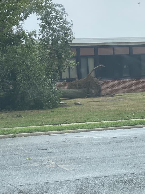
Tropical Storm Isaias Update: 100K Without Power On Long Island; Over 2M Outages On East Coast
Click here for a new, updated story - Tropical Storm Isaias: 320K Now Without Power On Long Island; Some LIRR Service Suspended
Nearly 100,000 Long Islanders have been left without power as Tropical Storm Isaias sped through the region.
PSEG Long Island crews were working to repair 2,346 active outages as of 4:15 p.m. on Tuesday, Aug. 4, which left 95,980 of its 1,162,375 customers without power.
There were 71,135 (14.56 percent of their customers) outages reported in Nassau County, with another 24,068 (3.77 percent) outages in Suffolk County. An additional 777 outages were being repor…
'We Are Closely Monitoring Path Of The Hurricane,' Cuomo Says As Dorian Takes Aim On US
As Hurricane Dorian continues to make its way toward the East Coast, New York Gov. Andrew Cuomo says he is “closely monitoring” its path.
A State of Emergency has been declared in Florida, with upwards of 12 inches of rain possible. Dorian, upgraded to a Category 3 hurricane on Friday, Aug. 30, is now expected to make landfall in the West Palm Beach, Florida area either late Monday, Sept. 2 or early on Tuesday, Sept. 3.
“Mother Nature's fury has once again been unleashed as Hurricane Dorian makes its way toward Florida with the potential to grow to a Category 4 storm,” said Cuomo, adding th…