Find Your Daily Voice
 45°
45°
Tag: National Weather Service
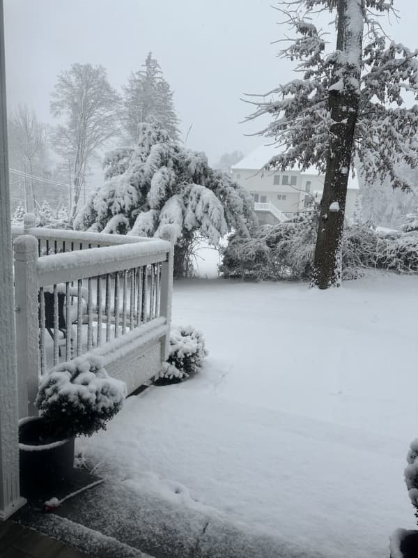
Eversource Preparing For Power Outages, Downed Trees As Storm Intensifies In CT
As a strong storm system brings gusty winds and heavy rain to Connecticut, Eversource is preparing crews to respond to any power outages, downed trees, or other damage caused by the weather.
The storm system, which arrived on Wednesday, Feb. 28, is bringing powerful wind gusts of 25 to 25 miles per hour to the state and is set to continue overnight into Thursday, Feb. 29, according to predictions from the National Weather Service.
Related Report - Potent Storm Arrives: These Areas Expected To See 50 MPH Wind Gusts, Scattered Power Outages
Because these conditions could ver…
Post-Thanksgiving Storm Strengthens As It Heads Toward Northeast
A coastal storm intensifying in the mid-Atlantic will bring widespread rain with sleet and snow in some interior locations in the Northeast at the tail end of Thanksgiving weekend, affecting travel.
The time frame for the system is late Sunday afternoon, Nov. 26 into the early morning hours of Monday, Nov. 27, according to the National Weather Service.
"On Sunday, rain will mainly be confined to eastern Virginia, Maryland, and Delaware before spreading into New Jersey, Pennsylvania, and New York by Sunday night," according to AccuWeather.com. "By Monday, rain will primarily focus acros…
Tropical Storm Ophelia Makes Landfall, Heads North Packed With Heavy Rain, Strong Winds
Tropical Storm Ophelia is heading inland and northward, bringing heavy rainfall, coastal flooding, and strong winds that extend well beyond its center.
Ophelia made landfall near Emerald Isle, North Carolina, on Saturday morning, Sept. 23.
It's packed with 65-mile-per-hour winds and is moving at around 13 mph.
Isolated tornadoes are possible from the system.
"Ophelia will spread drenching downpours, strong gusts, pounding surf, and ocean, sound, and bay flooding northward along the Atlantic coast from North Carolina to New Jersey, southeastern New York, and southern New England…
Tropical System With Drenching Downpours, Dangerous Winds Takes Aim At Region: Here's Timing
A potent storm system currently identified as Potential Tropical Cyclone 16 is headed to the Northeast packed with heavy rain and strong wind gusts.
Click here for a new, updated story - Tropical Storm Ophelia Forms Off Atlantic Coast: Will Bring Heavy Rain, Gusty Winds To Region
The system, which will move into this region overnight Friday, Sept. 22 into Saturday, Sept. 23, and continue well into Saturday evening, "is expected to become a tropical storm and come onshore over North Carolina, then weaken as it makes its way toward our area," according to the National Weather Service.
A t…