Showers and thunderstorms will be possible throughout the day on Friday, June 5 which will be cloudy with the high temperature around 80 degrees.
The storm chance increases late in the afternoon through the evening with the most potent storms expected Friday night, bringing heavy downpours and lightning.
It will be mostly cloudy overnight with the low temperature in the mid 60s.
There will be another window for more showers and storms on Saturday, June 6 from about 10 a.m. until around 2 p.m.
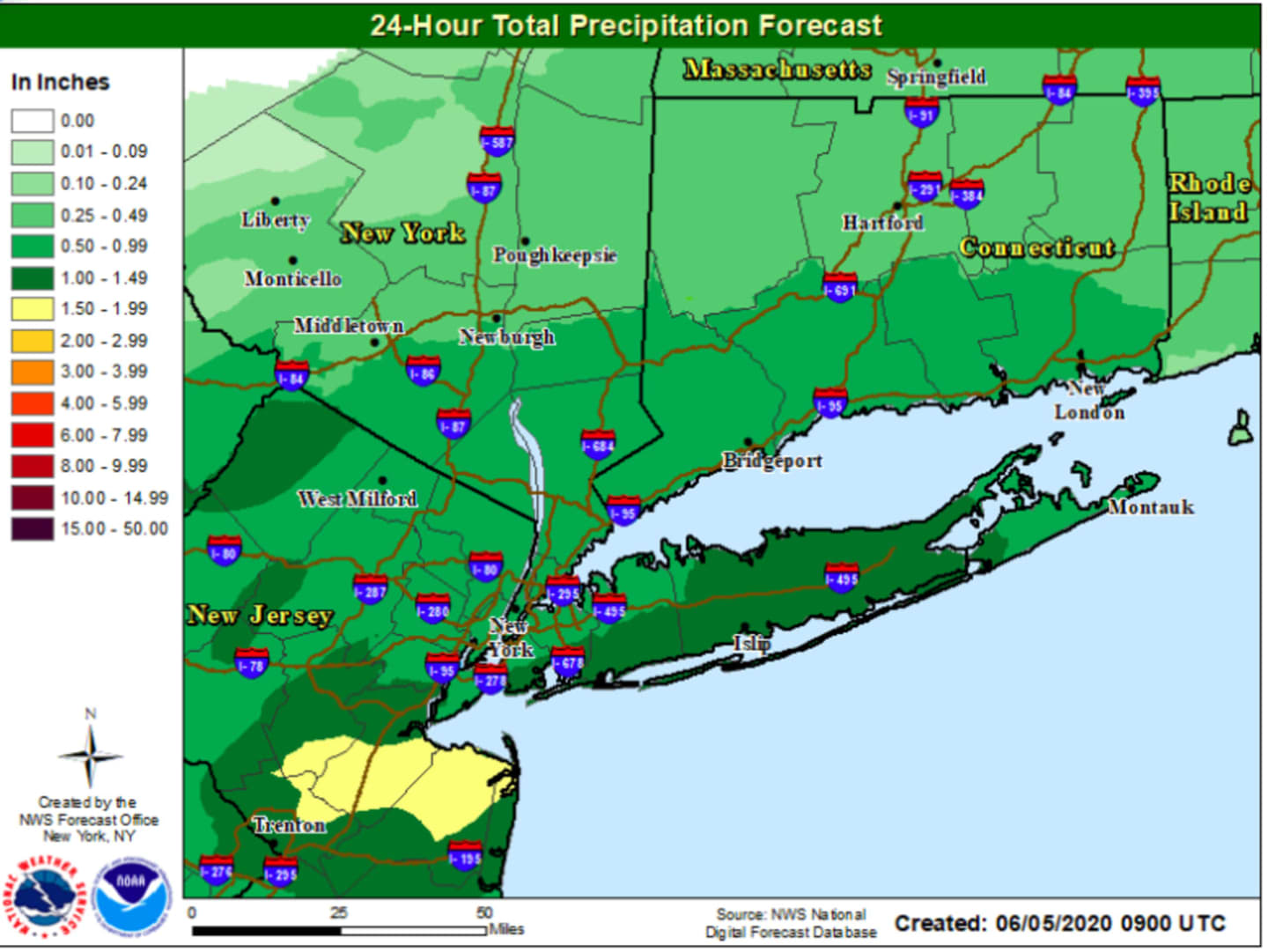
From Friday through Saturday afternoon, the entire region will see at least a half-inch of rainfall with higher amounts farther south, including up to an inch-and-a-half on Long Island. (See image above for projections.)
The rest of the day on Saturday will be partly cloudy with the high temperature in the low 80s.
Sunday, June 7 will be picture perfect and much more pleasant with sunny skies the high temperature more comfortable, in the low 70s.
Check back to Daily Voice for updates.
Click here to follow Daily Voice Darien and receive free news updates.