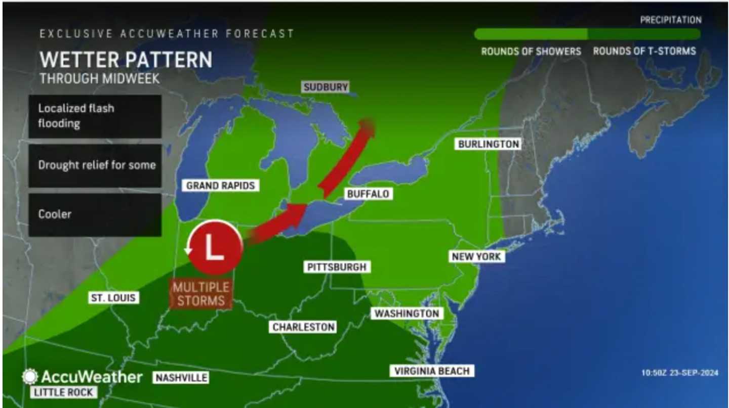
"As a slow-moving storm moves out of the Great Lakes and into the Northeast and mid-Atlantic later this week, moisture will be drawn northward, and this will finally bring the dry stretch to an end," said AccuWeather Lead Morning Meteorologist Dan Pydynowski.
According to the National Weather Service, Wednesday, Sept. 25, will be cloudy throughout the day, with high temperatures in the mid-60s. Scattered showers are possible from the early afternoon into the evening as a frontal system moves in from the west.
On Thursday, Sept. 26, there will be scattered morning showers, with thunderstorms possible from mid-afternoon through the evening. Temperatures top out in the mid-70s. Shower activity will be more widespread in the afternoon and evening Thursday than on Wednesday.
Helene is expected to make landfall on Florida's west coast as a major hurricane on Thursday. But current models keep it away from the Northeast. Its winds could strengthen to 120 mph, making it a Category 3 storm.
"There is some risk that the eventual Helene will throw some moisture northward to give quite a wet late-week period to the East Coast," AccuWeather Meteorologist La Troy Thornton explained, "but this is currently not the favored outcome, as it may end up more likely that another storm over the Mississippi Valley can capture the eventual tropical feature and pull its moisture in that direction instead."
Spotty showers will occur in the region on Friday, Sept. 27, though most of the day will be dry but cloudy, with high temperatures in the low 70s.
Conditions will improve for the weekend.
On Saturday, Sept. 28, there will be a mix of sun and clouds, followed by mostly sunny skies on Sunday, Sept. 29. High temperatures on both days will be in the low 70s.
Check back to Daily Voice for updates.
Click here to follow Daily Voice Massapequa and receive free news updates.