
Winds will gust as high as 50 mph for some time Wednesday evening, Feb. 28 and overnight into Thursday morning, Feb. 29, according to the National Weather Service.
Locally higher gusts of up to 60 miles per hour are possible in some spots. (See the second image above from AccuWeather.com.)
High wind watches and wind advisories have been issued for much of the Northeast from Wednesday night into Thursday morning as the system gradually weakens.
Conditions will improve after daybreak on Thursday as the system exits offshore.
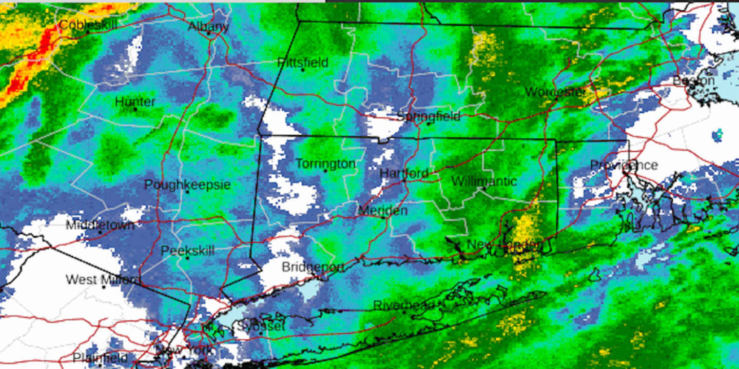
A new period of steady rain is likely ahead of the passage of the front Wednesday night when scattered thunderstorms are possible. There will be heavy rain at times, with some downpours.
"The rain should fall over a long enough duration to preclude significant hydro concerns, but brief nuisance flooding is possible in urban and poor drainage areas," the National Weather Service said.
As the system winds down Thursday morning, a colder air mass will move in, and there could be light snow and snow showers farthest north and inland as the overnight low dips below the freezing mark.
The passage of the midweek system will lead to a sunny, blustery, and brisk day on Thursday, with a high in the mid to upper 30s.
Wind strength will be around 20 miles per hour with gusts up to 35 mph.
It will remain sunny as the calendar flips to March on Friday with temperatures generally in the 40s.
Unsettled weather is expected to return on Saturday, March 2, which will be mostly cloudy with rain possible and a high temperature in the mid to upper 40s to around 50 degrees.
Check back to Daily Voice for updates.
Click here to follow Daily Voice Tarrytown-SleepyHollow and receive free news updates.