Find Your Daily Voice
 46°
46°
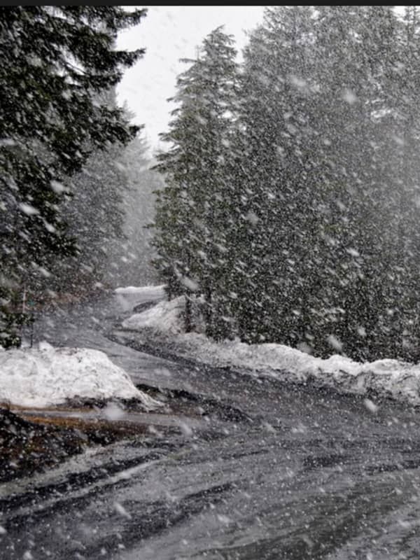
New Winter Storm Expected To Bring Snow, Sleet, Rain, Cause Slippery Travel
A new storm headed to the region is expected to bring a mix of snow, sleet, and rain that could cause slippery travel conditions.
The time frame for the system is late Monday night, March 6 into Tuesday morning, March 7, according to the National Weather Service.
Leading up to the storm's arrival, Sunday, March 5 will be mostly sunny with a high temperature in the mid to upper 40s.
Monday will start off with clear skies as the high temperature climbs to around the 50-degree mark.
Clouds will increase at night ahead of the storm's arrival.
Areas where the overnight temperature stays…
These Areas Could See Snowfall From Potent Storm Headed To Northeast
A complex new storm on track for the Northeast is expected to bring a mix of rain, sleet, and snow.
Ahead of the arrival of the system, there will be a return to warmer-than-normal temperatures for this time of year Sunday, Feb. 19, and Presidents Day on Monday, Feb. 20 into Tuesday, Feb. 21, according to the National Weather Service.
High temperatures during that street will range from the upper 40s to low 50s with cloudy skies each day,
Showers are possible both Monday and Tuesday, with some areas seeing snow showers overnight Monday into Tuesday morning.
The potent stor…
Storm System Will Be Followed By Big Change In Weather Pattern
A new winter storm that will bring a mix of snow, sleet, rain, and showers to the Northeast will be followed by a big change in the weather pattern.
The storm system, due to arrive in this region after midnight Sunday morning, March 6, with its center now expected to be farther north and east. (See the image above.)
"In the Northeast, the majority of ice or a wintry mix will generally be confined to upstate New York and central and northern New England with rain forecast for Pittsburgh, New York City, Hartford, Connecticut, and Boston," said AccuWeather Senior Meteorologist Bill Deger.…
Icy Mix: Storm Bringing Freezing Rain, Sleet Could Cause Hazardous Travel Conditions
A new storm sweep that will sweep through the region won't bring more snowfall but will be accompanied by freezing rain and sleet that could lead to dangerous travel conditions.
The time frame for the storm is Sunday, Jan. 9, from about daybreak to 11 a.m.
Total ice accumulations of a light glaze is possible, the National Weather Service said in a Hazardous Weather Outlook statement issued Saturday morning, Jan. 8.
For a look at areas most at risk for seeing freezing rain, sleet, and hazardous driving conditions, see the first image above. .Very slippery sidewalks, roads, and bri…