Find Your Daily Voice
 46°
46°
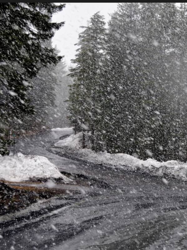
New Storm Could Bring Mix Of Snow, Ice, Causing Power Outages, Treacherous Travel
There's been no shortage of snowfall this winter.
But the main threat for the next storm taking aim on the region looks like it could be ice, leading to the possibility of potentially major power outages from damage to power lines and trees as well as treacherous travel.
The time frame for the storm, which could also bring accumulating snow to areas farther north and inland, is Saturday night, Feb. 13 through Valentine's Day, Sunday, Feb. 14, and into Presidents Day on Monday, Feb. 15.
Saturday, Feb. 13 will be mostly cloudy and cold with a high temperature in the upper 20s with wind…