Perhaps predictably considering the overcast conditions, Phil did not see his shadow, meaning an early spring is on the way.
But it won't feel that way in the coming days.
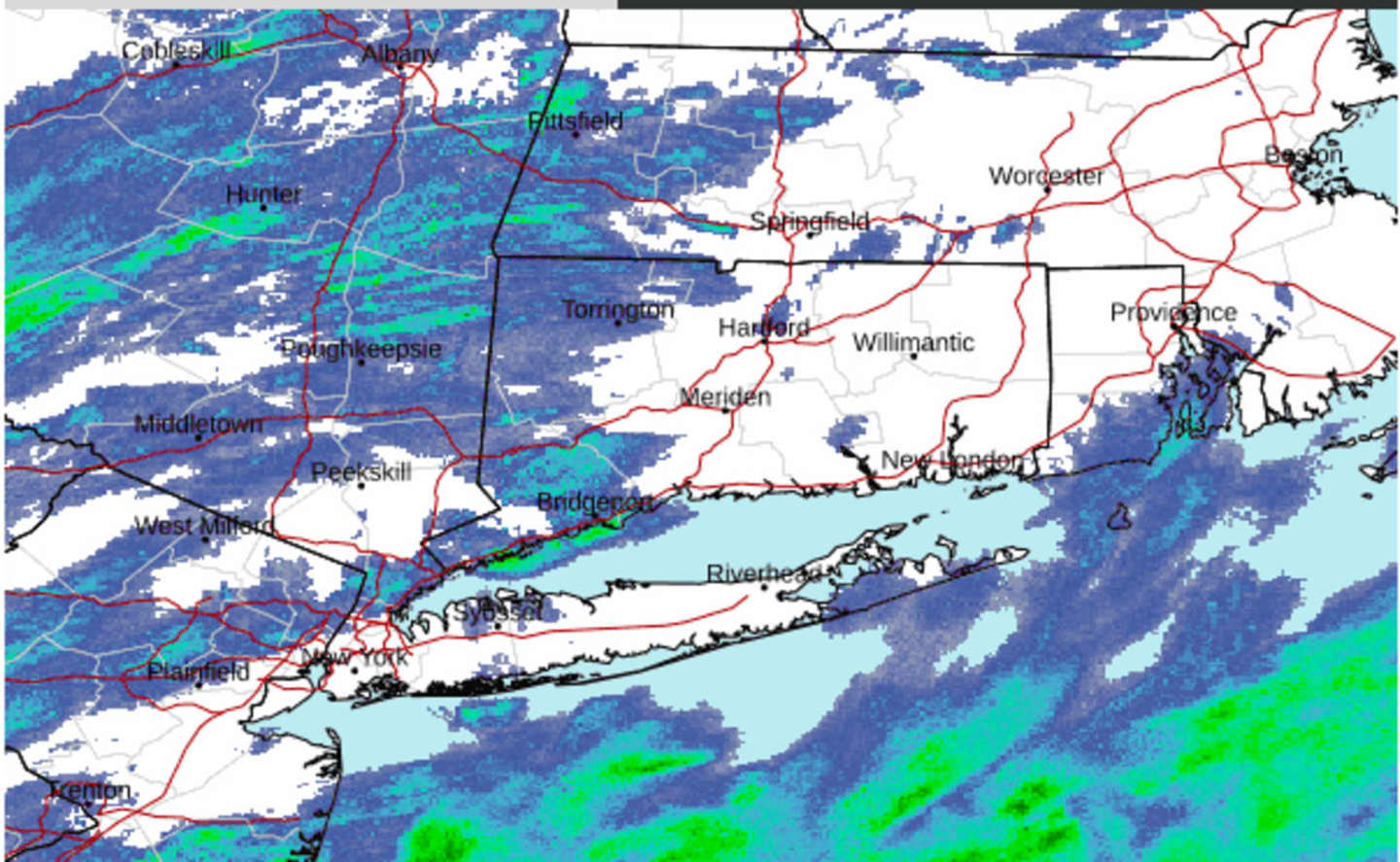
Scattered rain showers are accompanying the passage of the cold front on Friday, Feb. 2, with snow showers farther inland.
The passage of the front will lead to a sunny stretch of cooler, drier days after nine straight days in which skies were cloudy.
But before the sun returns, Friday will be mostly cloudy during the morning and afternoon before skies clear at night.
Friday's high temperature will be in the low 40s before dropping into the mid to upper 20s overnight into Saturday, Feb. 3 with wind-chill values in the teens.
"Expect a long stretch of dry weather for the weekend into early next week, along with seasonable temperatures," according to the National Weather Service.
Saturday will be bright and sunny with a high temperature in the mid-30s.
It will remain clear overnight into Sunday, Feb. 4, which will be sunny with a high temperature of around 40 degrees and overnight lows in the 20s.
The outlook for Monday, Feb. 5, and Tuesday, Feb. 6 calls for sunny skies and a high temperature in the upper 30s Monday and mid-30s on Tuesday.
Check back to Daily Voice for updates.
Click here to follow Daily Voice Nassau and receive free news updates.