The system arrived overnight Friday, Feb. 16, and is expected to continue into early Saturday afternoon, Feb. 17.
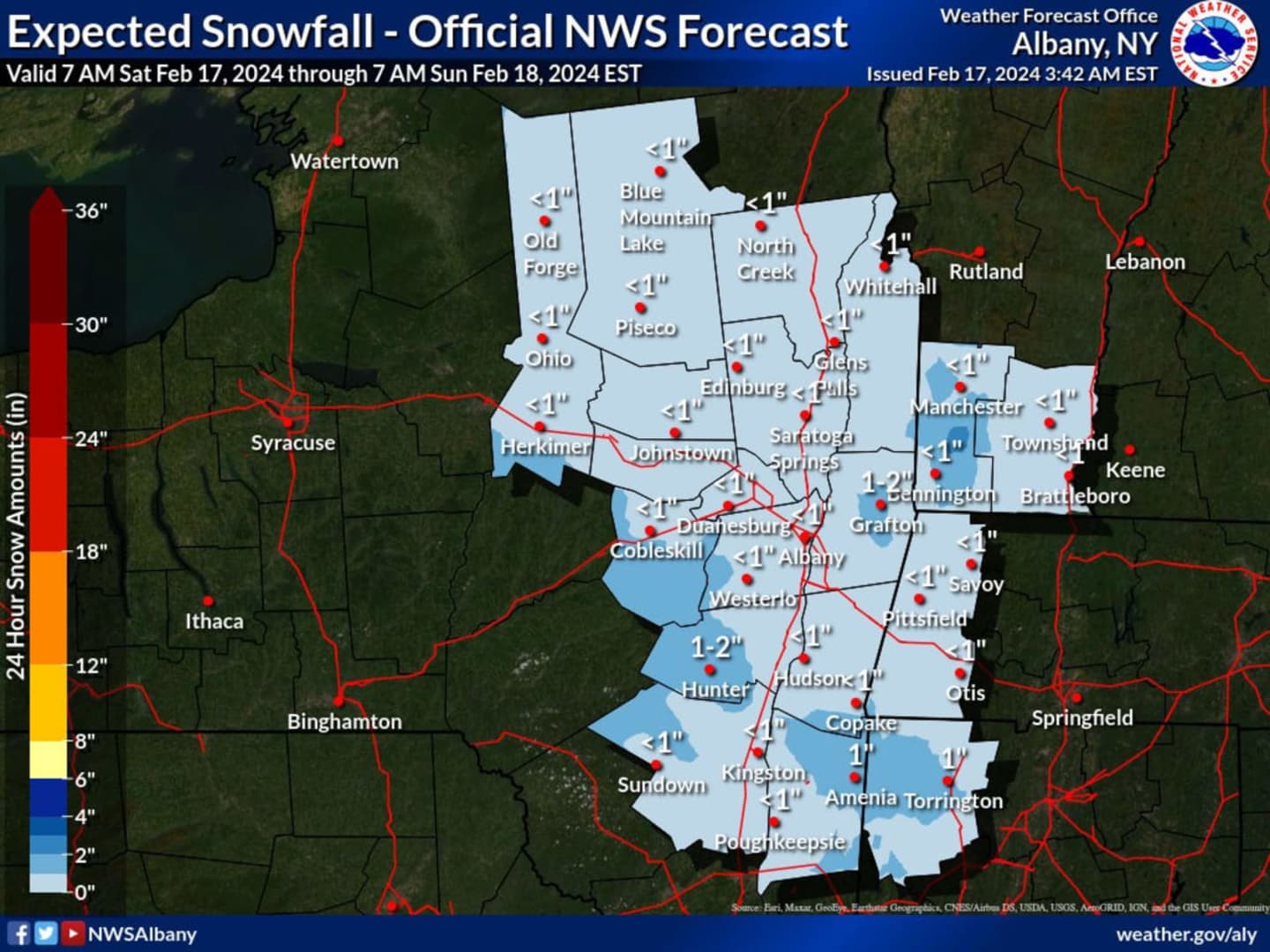
In a new forecast map released by the National Weather Service, a widespread dusting to an inch of snowfall is expected, with up to 2 inches in areas shown in the darkest shade of blue in the image above.
After the system pushes through, there will be gradual clearing on Saturday afternoon as the high temperature reaches the mid-30s.
That will lead to a mostly sunny day on Sunday, Feb. 18 with temperatures in the mid-30s.
Presidents' Day on Monday, Feb. 19 will be sunny with a high in the low 40s.
The outlook for Tuesday, Feb. 20 calls for mostly sunny skies with a high temperature in the upper 30s to low 40s.
Check back to Daily Voice for updates.
Click here to follow Daily Voice Capital District and receive free news updates.