
The system will wind down around midday on Thursday, March 7.
The potent system, triggered by a coastal low-pressure system, will dump a total of up to 2 inches of rainfall. Locally higher amounts of around 3 inches are possible, especially farther east.
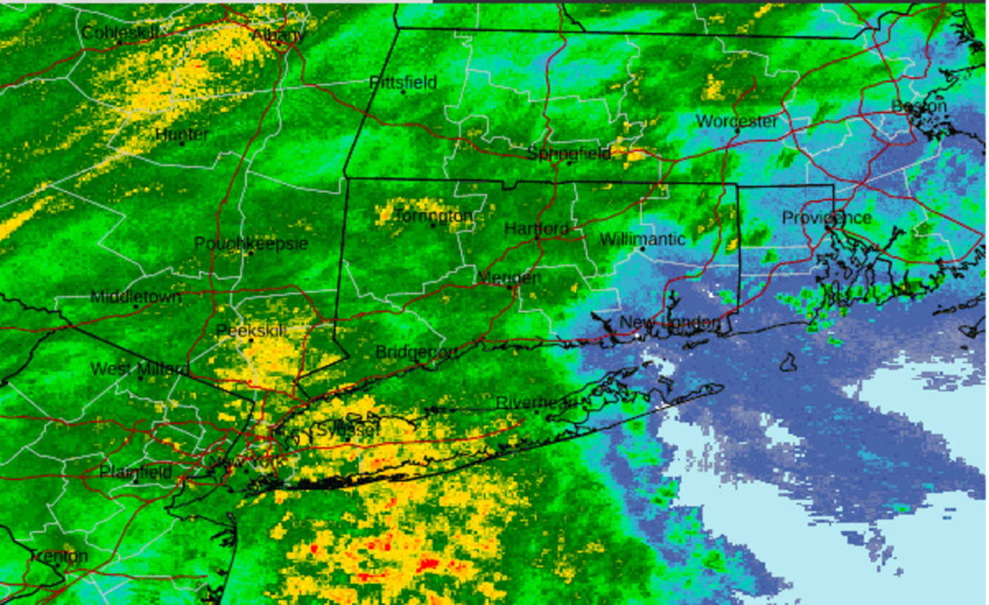
Wind gusts will generally top out at around 20 miles per hour, and some scattered power outages are possible. Drenching downpours started moving in from west to east Wednesday evening.
For a look at areas most at risk for flooding, click on the second image above from AccuWeather.com.
A Flood Watch is in effect from Wednesday afternoon into Thursday morning for much of the Northeast.
"Excessive runoff may result in flooding of rivers, creeks, streams, and other low-lying and flood-prone locations," the National Weather Service said in an updated Hazardous Weather Outlook statement issued Wednesday afternoon. "Flooding may occur in poor drainage and urban areas."
Clouds will remain through Thursday afternoon and evening after the storm winds down, but there could be scattered rain and showers at times.
There will be a reprieve from the stretch of gray days on Friday, March 8, which will be mostly sunny with a high of around 50.
The weekend will be marked by a drop in temps, which will lead to a snow chance.
The high temperature on Saturday, March 9 will be in the low to mid-40s with mostly cloudy skies and a chance for rain or showers.
Rain is likely on Saturday night into Sunday, March 10 as Daylight Saving time begins at 2 a.m. Sunday, when clocks "Spring forward" an hour. Snow is possible in upstate New York and northern New England.
Sunday will be a raw day with high temperatures ranging from the upper 40s to low 50s.
With precipitation expected to continue overnight, a mix of snow, sleet, and freezing rain is expected where the temperature is expected to be at or below the freezing mark, especially in upstate New York and northern New England.
The system is now expected to move out by daybreak on Monday, March 11, leading to a partly sunny and breezy day with a high temperature mainly in the low 40s.
Check back to Daily Voice for updates.
Click here to follow Daily Voice Hampden and receive free news updates.