Thanks to a ridge of high pressure, sunshine will remain through Thursday, Feb. 8, the National Weather Service says.
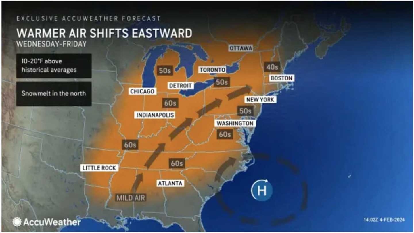
But amid that stretch, temperatures will climb to above-seasonable levels starting on Wednesday, Feb. 7.
The workweek will start with sunny and cold conditions on Monday, Feb. 5 with a high temperature of around 40 degrees, but wind-chill values in the 20s. It will remain clear overnight with wind-chill values in the teens.
Look for more of the same on Tuesday, Feb. 6 with a high temperature in the upper 30s to around 40 degrees with wind-chill values again in the teens.
The high temperature Wednesday, Feb. 7 will climb into the low 40s amid sunny skies, starting a stretch of days with high temperatures above seasonal averages that will stretch into the weekend. But it will feel colder Wednesday with breezy conditions.
The mercury will reach the mid-40s throughout the region on Thursday, Feb. 8, and climb to around 50 degrees farther south with mostly sunny skies and calmer winds.
The stretch of sunny days that started in the first weekend of February following a month of January marked by cloudy skies will come to an end overnight Thursday into Friday, Feb. 9.
It will be mostly cloudy on Friday with the high temperatures reaching 50 degrees and into the low 50s in some spots.
There is a chance of an afternoon or evening shower on Friday that could linger overnight into Saturday, Feb. 10.
Check back to Daily Voice for updates.
Click here to follow Daily Voice Danbury and receive free news updates.