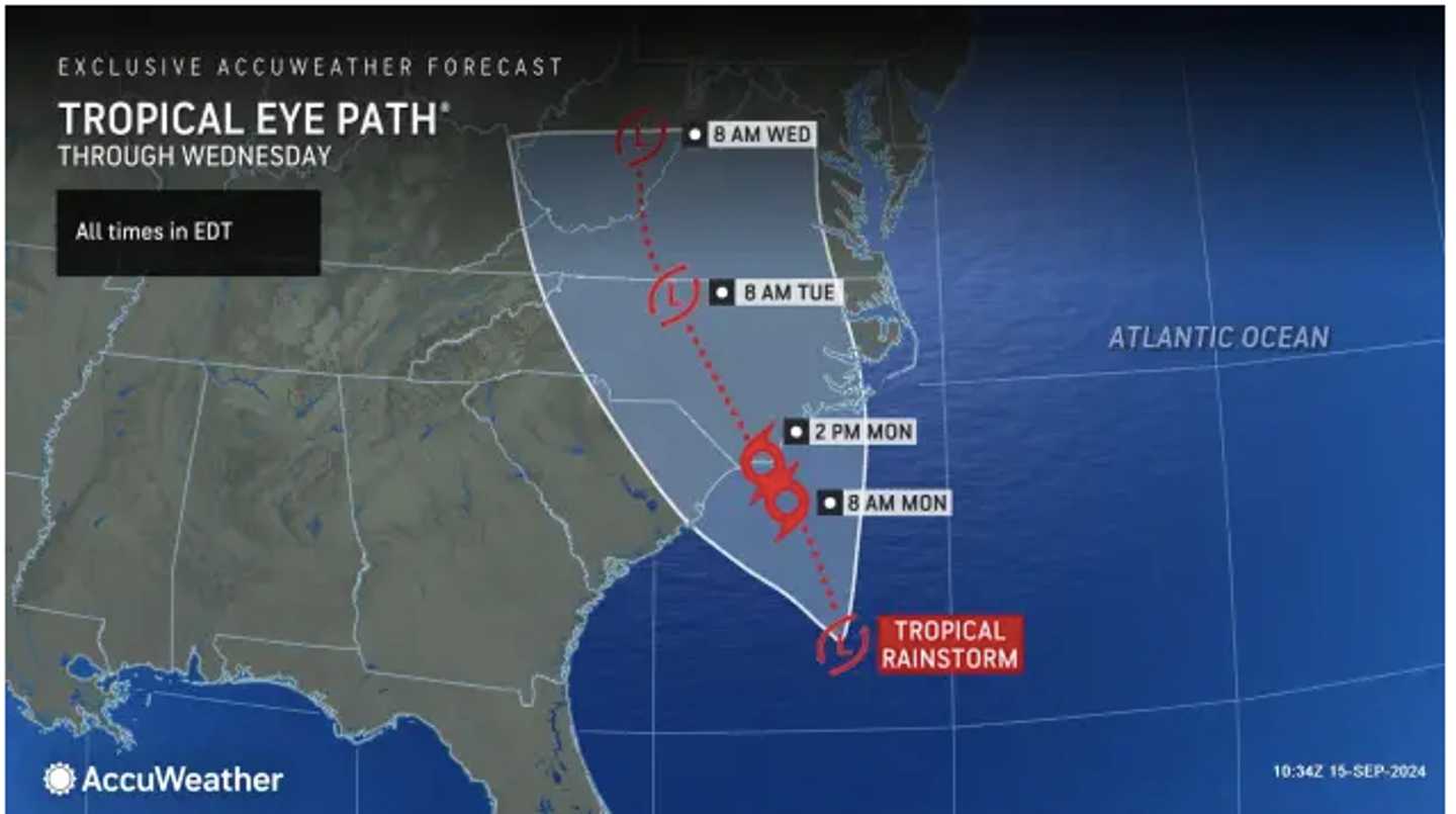
The time frame for precipitation in the region is from Tuesday night, Sept. 17 into Thursday, Sept. 19.
"The exact track and intensity of the homegrown tropical wind and rainstorm will determine which areas receive the most rain," according to AccuWeather.com. "The track of the system depends on how quickly it develops and the strength and position of the high-pressure zone over the Northeast state."
Monday, Sept. 16 will be mostly sunny with high temperatures in the mid-70s, according to the National Weather Service.
It will become overcast Monday into Tuesday, with patchy fog overnight lingering into the morning. It will be a mostly cloudy day with temps in the mid-70s.
Showers will arrive Tuesday evening, and on Wednesday, Sept. 18, and Thursday, there will be rain and showers at times throughout the day and evening.
The high temperature will be in the low 70s on both Wednesday and Thursday. It will be more humid both days.
The outlook for Friday, Sept. 20 calls for mostly cloudy skies with temperatures in the low 70s.
Check back to Daily Voice for updates.
Click here to follow Daily Voice Bridgeport and receive free news updates.