But this weekend is marking both an end and a beginning.
After a week-and-a-half of consistently cloudy skies, a cold front that accompanied a round of showers has ushered in a dramatic change in the weather pattern.
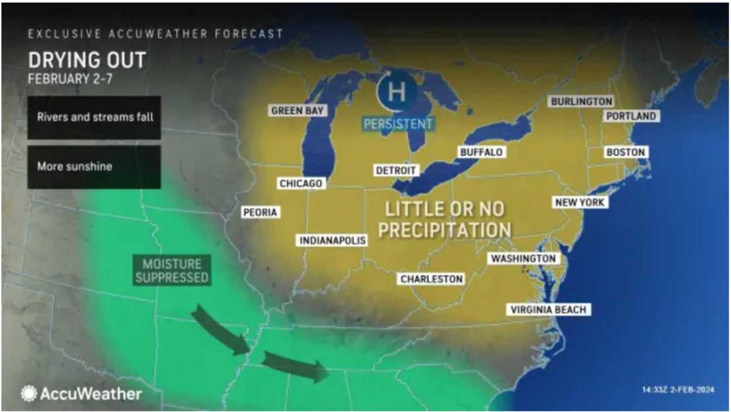
'There will be abundant sunshine and an extended period of dry weather driven by a strong area of high pressure," according to AccuWeather.com.
It will be brisk throughout the weekend with a high temperature in the mid-30s Saturday to upper 30s to around 40 on Sunday, Feb. 4 amid the mainly sunny skies, but wind-chill values will be in the teens and 20s both days, the National Weather Service says.
Winds will be calmer on both Monday, Feb. 5, and Tuesday, Feb. 6 with sunny skies and a high temperature in the mid to upper 30s both days.
Wednesday, Feb. 7 will be sunny with a high temperature of around 40 degrees.
The outlook for Thursday, Feb. 8 calls for a climb in temps into the low to mid-40s with mostly sunny skies.
Check back to Daily Voice for updates.
Click here to follow Daily Voice Massapequa and receive free news updates.