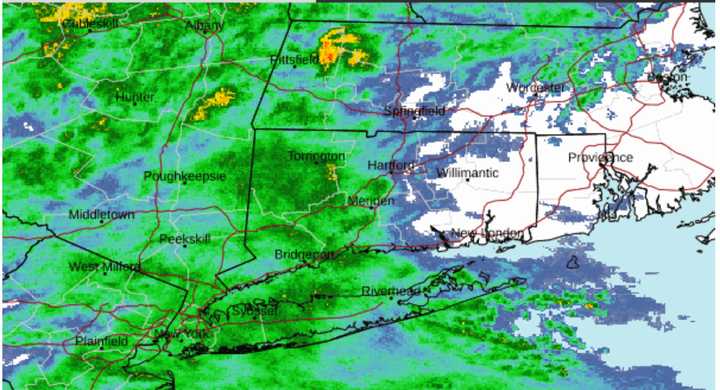
Current radar shows light rain across much of the region on Wednesday morning, May 15. (See image above from the National Weather Service.) Temperatures will hold steady in the low 60s.
Rain will become steady and heavy at times starting in the late afternoon and continuing into early Thursday afternoon, May 16.
Rain will begin to taper off Thursday afternoon on a mostly cloudy day with temps in the mid-60s.
There will be a break from precipitation on Friday, May 17. It will be partly sunny, helping temperatures rise into the low 70s.
Clouds return on Saturday, May 18. Temps will be in the low 60s, and showers are possible at times during the day and again at night.
Look for more of the same on Sunday, May 19, with mostly cloudy skies, temperatures in the low 60s, and scattered showers possible.
Check back to Daily Voice for updates.
Click here to follow Daily Voice Massapequa and receive free news updates.
