Subscribe
70°

Rain, Winds, Coastal Storm? What NJ Can Expect From The Weather This Thanksgiving Week
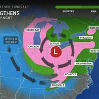
The National Weather Service in Mount Holly is forecasting a mix of sunny skies, mild temperatures, and rain chances this Thanksgiving week, with a potential coastal storm expected to impact travel plans Thursday into Friday.
Here's your day-by-day forecast this week through the holiday, according to the NWS:
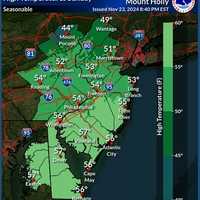
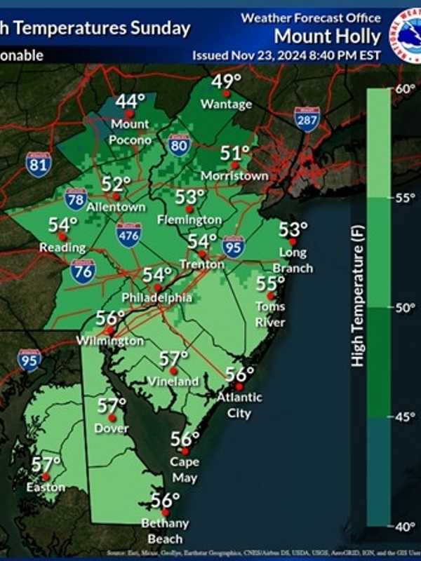
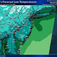
Sunday, Nov. 24: Expect mostly sunny skies with a high near 56°F. West winds will blow around 15 mph, with gusts as high as 30 mph. Tonight will be partly cloudy, with lows dropping to 33°F and calming winds.
Monday, Nov. 25: Sunny and slightly warmer, with a high near 59°F.…
Snow Totals Climb With 20 Inches Recorded In This NJ Town: Check How Much Snow Your Area Got
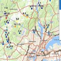
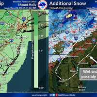
Snowfall totals in New Jersey and Pennsylvania have surged higher than earlier reports, with some areas now measuring up to 20 inches, the National Weather Service announced Friday, Nov. 22.
High Point, NJ, has officially recorded 20 inches of snow as of Friday morning, marking the highest total in the region.
In Pennsylvania, Richmondale follows closely with 19.5 inches, and Cortez reached 19 inches, highlighting the storm's significant impact on higher elevations.
Other notable totals include 17.2 inches near Uniondale and 17 inches in Clifford, both in northeastern Pennsylvania. F…
Brief Cold Front Coming, Warm Weather Sticking Around In NJ, PA: Forecasters
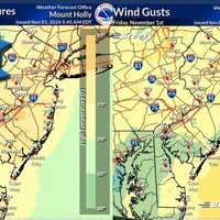
A cold front will end the summer-like warmth in the Northeast — for now, forecasters say.
"For the next seven to 10 days at least, warm days will outnumber chilly ones, relative to the historical average," AccuWeather Senior Meteorologist Brett Anderson said. "This means that when all the days are tallied up, temperatures will be several degrees above that historical average, which is slowly trending downward during November."
The last few days have certainly felt like summer, but the weekend will be feeling more like autumn, forecasters say.
Temperatures on Friday will be in the high 70s …
Scorching Heat, Severe Storms: Your Forecast Leading Up To Labor Day In NJ, PA
The heat is going to ramp up before summer winds down in the Northeast.
Heat advisories, warnings, and watches are in place this week across New Jersey and Pennsylvania as temperatures climb up to the high 90s, even feeling close to 100 degrees in some places, AccuWeather and the National Weather Service report.
Tuesday, Aug. 27 is sunny with a high of 89 while Wednesday, Aug. 28 will be as hot as 97 degrees, the NWS said. According to AccuWeather, Real Feel temps could creep into the 90s on Tuesday, and up to 105 Wednesday.
A heat advisory was in effect through 8 p.m. Wednesday for Bergen…
Hundreds Without Power In NJ, More Storms Possible Late In The Day
Thousands of New Jersey residents woke up Monday morning, Aug. 19 without power due to Sunday's storm.
And according to the National Weather Service, more stormy weather could be on the way for later in the day.
As of 6:40 a.m., JCP&L was reporting the most outages with the following areas without power: Clinton, 880; Branchville, 150; Hopatcong, 215; Long Branch/Asbury Park, 350; Lakewood, 265.
The National Weather Service said Monday would be cloudy, but will become partly sunny by midday.
"A cold front will then approach from the west causing isolated severe thunderstorms this…