Snow overspread much of the region overnight with a mix along southern coastal areas expected to transition to snow after daybreak on Tuesday, Feb. 13, according to the National Weather Service.
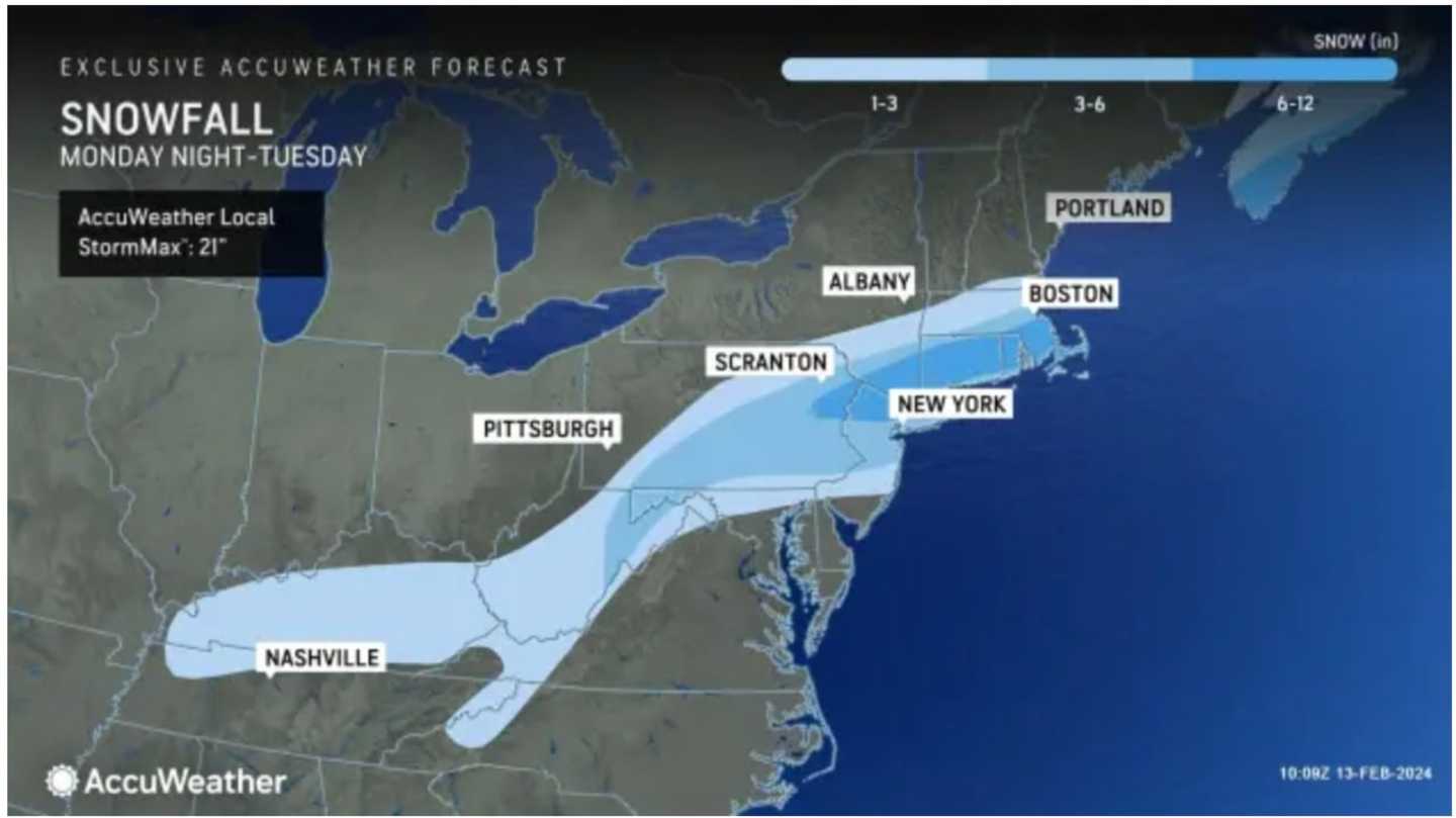
The snow will taper off by mid-to-late afternoon with a widespread 6 to 8 inches of accumulation and locally higher amounts of a foot or more in the areas shown in the darkest shade of blue in the final projections shown in the image above and released by AccuWeather.com on Tuesday morning.
The most accumulation is likely to be in spots where locally heavier bands of snowfall move through, the weather service notes.
A Winter Storm Warning is in effect for most of the Northeast until 6 p.m. Tuesday."
"If you must travel, keep an extra flashlight, food, and water in your vehicle in case of an emergency," the National Weather Service said.
After the system pushes through, skies will become clear after nightfall with an overnight low in the mid-20s and lower wind-chill values.
It will be sunny and brisk on Valentine's Day on Wednesday, Feb. 14 with a high temperature in the low to mid-30s and wind-chill values in the teens and 20s.
Check back to Daily Voice for updates.
Click here to follow Daily Voice Ulster Sullivan and receive free news updates.