Find Your Daily Voice
 46°
46°
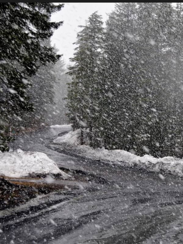
Icy Mix: Storm Bringing Freezing Rain, Sleet Could Cause Hazardous Travel Conditions
A new storm sweep that will sweep through the region won't bring more snowfall but will be accompanied by freezing rain and sleet that could lead to dangerous travel conditions.
The time frame for the storm is Sunday, Jan. 9, from about daybreak to 11 a.m.
Total ice accumulations of a light glaze is possible, the National Weather Service said in a Hazardous Weather Outlook statement issued Saturday morning, Jan. 8.
For a look at areas most at risk for seeing freezing rain, sleet, and hazardous driving conditions, see the first image above. .Very slippery sidewalks, roads, and bri…