Here's what to expect:
Friday, Jan. 3: Rain will be heavy through the morning commute. Precipitation will then taper off by noontime on a day in which the high temperature will be in the mid to the upper 40s.
A new round of rain is then expected to start late Friday night. Up to an inch of rainfall is possible through overnight Friday, with the low temperature around 40.
Saturday, Jan. 4: Periods of rain and milder with the high temperature in mid 40s. Rain will taper to showers by mid-afternoon. It will be mostly cloudy overnight with a low temperature in the low to mid 30s.
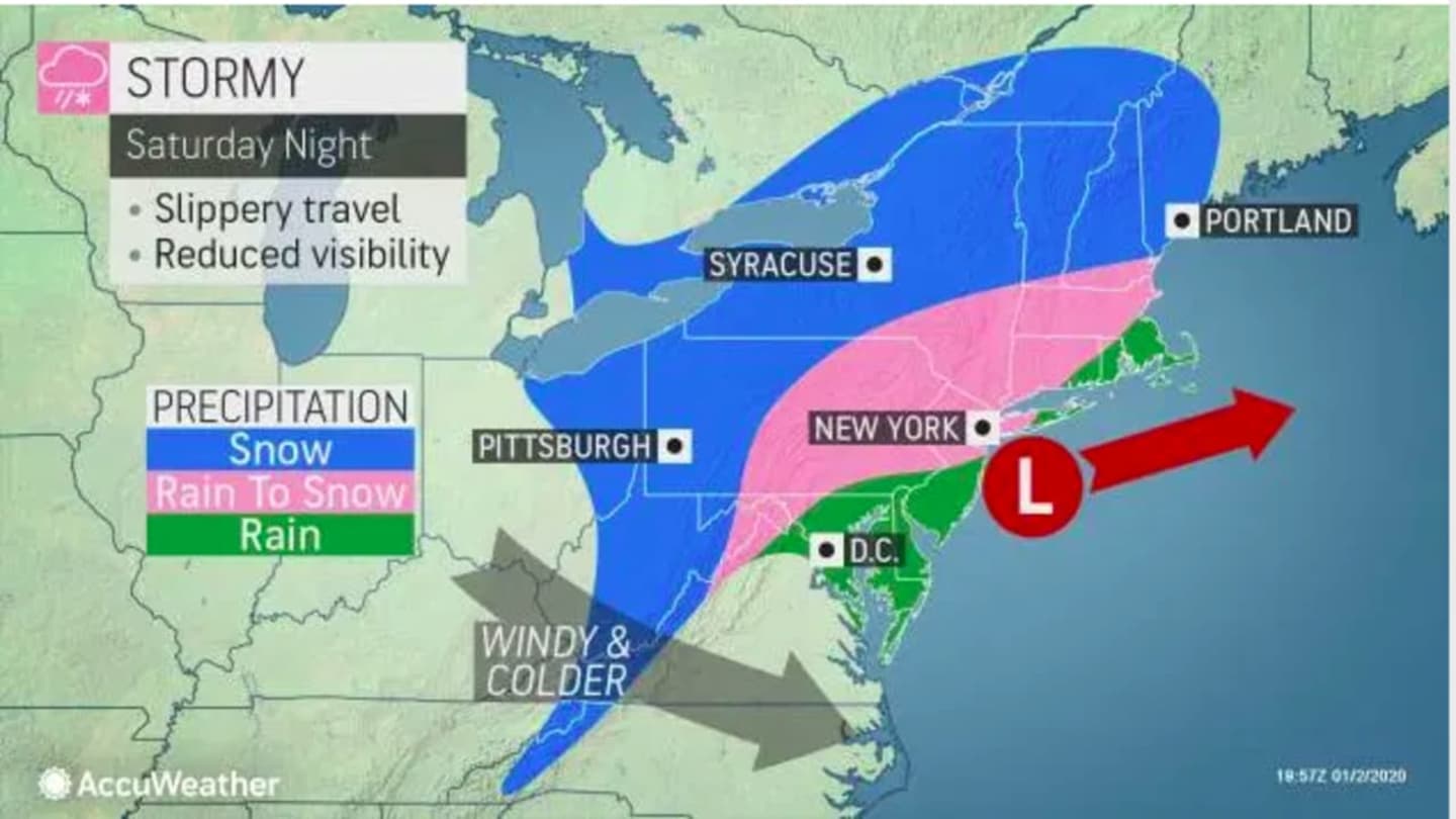
Sunday, Jan. 5: A mix of rain and snow is expected throughout the region in the predawn hours. Areas north of I-287 in New York and the Merritt Parkway in Connecticut could see between 1 to 3 inches of accumulation through 7 a.m. Sunday. Areas farthest south could see up to half an inch of accumulation.
The storm will then push off the coast as skies clear, leading to a partly sunny and colder day with a high temperature in the mid to upper 30s. The overnight low will be in the upper 20s with partly cloudy skies.
Monday, Jan. 6: Partly sunny with a high temperature in the mid 30s.
Check back to Daily Voice for updates.
Click here to follow Daily Voice Rye and receive free news updates.