Find Your Daily Voice
 44°
44°
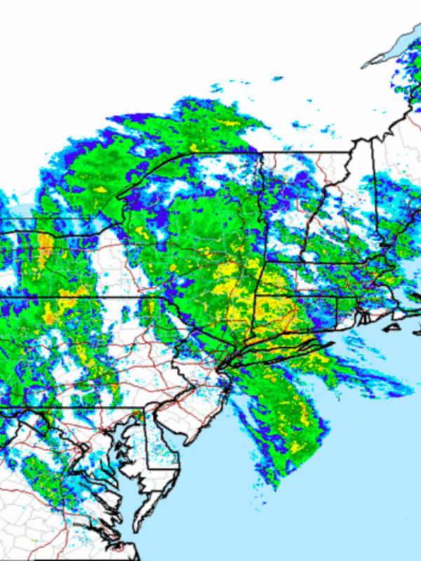
NY State Agencies Prepare Emergency Response For Nor'easter
New York State is preparing its emergency response as a low-pressure system is expected to bring heavy rainfall to parts of the state.
The storm is set to move across Long Island, New York City, and the Hudson Valley. The first round of rain is expected to begin the night of Monday, Oct. 25, and become heavy Tuesday, Oct. 26.
Related - Nor'easter Will Bring Downpours, Damaging Wind Gusts, Possible Power Outages, Flash Flood Risk
Rainfall totals of two to four inches are possible, and rainfall rates could exceed one inch per hour at certain points, said the National Weather Servic…