

Wind speeds will be strong throughout the region with the most dangerous gusts of up to around 65 miles per hour or more on Long Island, and coastal areas in New England, according to the National Weather Service.
Areas in red in the second image above from AccuWeather.com are at the highest risk of experiencing power outages.
In New York, high-wind warnings are in effect from 6 p.m. Tuesday, Jan. 9 to 6 a.m. Wednesday, Jan. 10 for Southern Westchester County and all of Long Island, and in Connecticut, for areas along the coast for the same time frame.
A widespread 2 to 4 inches of rain is expected. Combine that with melting snowpack and the already saturated ground, and the likelihood of flooding leading to road closures will be enhanced.
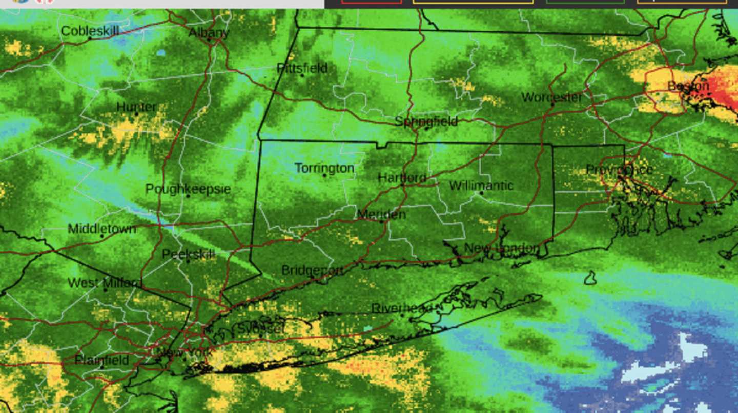
Click on the third image above to see areas marked in yellow where the highest rainfall amounts are forecast with flooding also most likely.
The most specific time frame for the most severe flooding downpours and dangerous winds is a window of about four hours from late Tuesday night into the early morning hours after midnight on Wednesday.
In an advisory issued Tuesday, the National Weather Service said to expect the following:
- Widespread moderate to major river flood threat, late Tuesday through Wednesday.
- Widespread minor to moderate urban and poor drainage flooding late tonight into Wednesday.
- Widespread moderate coastal flooding for much of Long Island and the southeast Connecticut coast with the Wednesday morning high tide. Locally major flooding is possible along the Great South Bay. on Long Island
- Widespread dune erosion and scattered overwash along the ocean beachfront on Wednesday with localized dune breaches possible.
- Strong to damaging winds, especially along the coast, late Tuesday night into Wednesday.
- Storm conditions and high seas on all waters late Tuesday night into Wednesday.
Check back to Daily Voice for updates.
Click here to follow Daily Voice Rye and receive free news updates.