
It's in effect until 8 p.m. Monday, May 16.
Scattered storms moving from west to east may produce damaging winds, hail, a few tornadoes, and isolated flash flooding, the National Weather Service said.
Wind gusts of 60 miles per hour are expected in some spots where the storms are most severe.
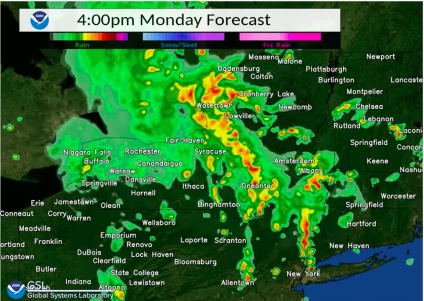
Most of the storm activity is now expected to come between 4 p.m. and 8 p.m. (See the two images above with forecast models from the National Weather Service.)
"The main threat will be locally strong to damaging wind gusts along with heavy rain/brief poor drainage street flooding," the National Weather Service said. "The activity is anticipated to weaken as it moves further east."
Rainfall amounts of about half of an inch are expected.
Check back to Daily Voice for updates.
Click here to follow Daily Voice Ramapo and receive free news updates.