Find Your Daily Voice
 44°
44°
Winter Storm - Hochul Warns NYers To Prepare For Snow, Possible Power Outages: 'Be Vigilant'
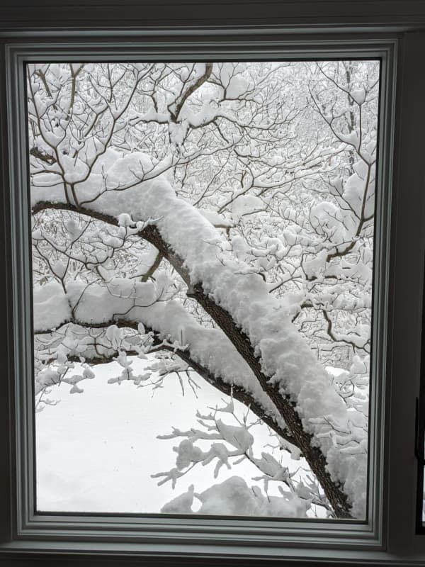
As a powerful Nor'easter threatens to dump inches of snow and a wintry mix on much of New York State, Gov. Kathy Hochul is urging residents to prepare for power outages and travel hazards posed by the white stuff.
According to Hochul, the large coastal weather system is predicted to hit New York late Saturday, Jan. 6, and continue into Sunday, Jan. 7, bringing anywhere from 3 to 12 inches of snow to parts of the Hudson Valley, Capital Region, and Central New York, and a mix of snow and rain to New York City and Long Island.
Winter storm watches are in effect throughout New York S…
Quick-Moving New Winter Storm Will Bring Snow, Sleet, Rain To These Parts Of Region
Parts of the region are expected to see a mix of snow, sleet, and rain from a quick-moving winter storm overnight.
The time frame for the system is late Monday night, March 6 into early Tuesday morning, March 7, according to the National Weather Service.
The current projected track for the system has been trending south, with New York City and parts of Long Island now expected to see some snowfall, according to the National Weather Service. (See the first image above.)
"Snow amounts should stay under 0.5 inches, but local higher amounts of about an inch are possible," the weather service s…
How Much Snow Did You Get? A Look At Totals From Throughout Region
The most potent winter storm of the season has resulted in scores of school closures and slippery travel conditions.
Here's a look at some snowfall totals reported to the National Weather Service and other sources on Tuesday morning, Feb. 28.
If you don't see your town listed, post the total in a comment.
New York
Manhattan
Central Park, 1.8 inches
Nassau County
Manhasset Hills, 3.5 inches
Herricks, 3.5 inches
Suffolk County
Commack, 5 inches
Centereach, 4.5 inches
Mattituck, 4.5 inches
Mount Sina, 4.5 inches
Bridgehampton, 4.4 inches
Rockland County
Stony Point, 6.1 inc…
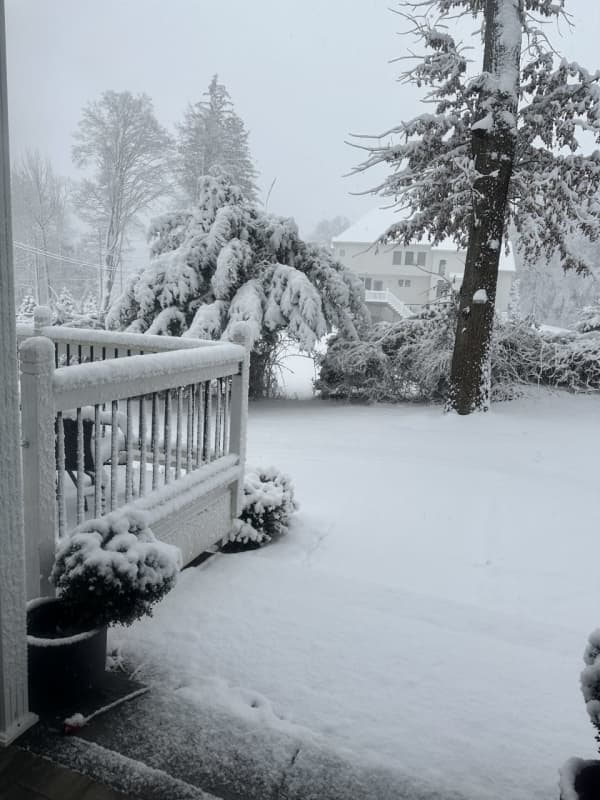
Here's When Damaging Wind Gusts From Multi-Hazard Winter Storm Could Cause Power Outages
Damaging wind gusts triggered by a multi-hazard winter storm bringing rain, sleet, and snow could cause power outages in much of the Northeast.
Precipitation from the storm, which is moving from west to east on Wednesday morning, Jan. 25, is expected to wind down shortly after daybreak on Thursday, Jan. 26, but strong wind gusts are expected to continue throughout the day, according to the National Weather Service.
Generally, gusts will be around 30 miles per hour, but areas near the coast could see 40 mph gusts on Thursday.
Wind speeds will increase Wednesday night with gusts of 30 m…