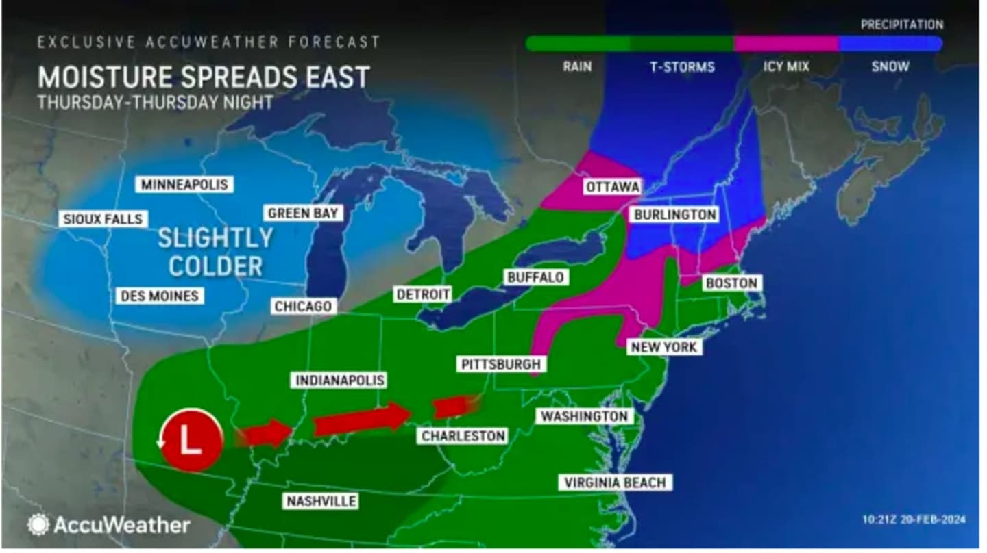


The time frame for the system is from overnight Thursday evening, Feb. 22 into early Friday afternoon, Feb. 23.
Temperatures should stay well enough above the freezing mark during that time in much of the region, except farthest north, where snow is forecast in upstate New York and northern New New England.
Current projections have the storm moving from west to east into the region starting between 11 p.m. Thursday and 1 a.m. Friday.
After a sunny start, clouds will increase on Thursday in advance of the storm. The high temperature with generally be around the 40-degree mark and a few degrees higher around the coast.
Rain will mix with snow at times inland overnight, before turning to all rain before daybreak. Farthest north, where the mercury remains below the freezing mark, precipitation will be mainly snowfall.
In most of the region, there will be periods of rain, which could be heavy at times, Friday morning into the early afternoon.
The high temperature will gradually climb over 40 degrees in most spots, and as high as 45 degrees nearest to the coast.
After the storm passes, it will remain cloudy on Friday afternoon before there is gradual clearing overnight, leading to a bright, brisk, and sunny day on Saturday, Feb. 24 with a high temperature only in the low 30s.
The second half of the weekend will also be dry, with plenty more sunshine and a high temperature in the upper 30s on Sunday, Feb. 25.
The climb in temperatures will kick in on Monday, Feb. 26 with a high temperature of around 50 degrees and partly sunny skies.
The outlook for the end of February into the beginning of March is for above-normal temperatures across the region, according to a new forecast released by the National Weather Service on Wednesday morning, Feb. 21. (Click on the third image above.)
Check back to Daily Voice for updates.
Click here to follow Daily Voice Ossining and receive free news updates.