The system developed in the middle of the afternoon on Monday, July 15, amid high humidity and heat-index values well into the 90s.
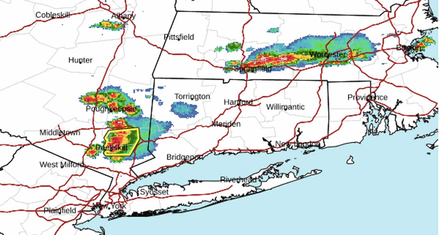
A radar image from the region at around 3:30 p.m. Monday shows areas (marked in red) with heavy rainfall, thunder, and lightning.
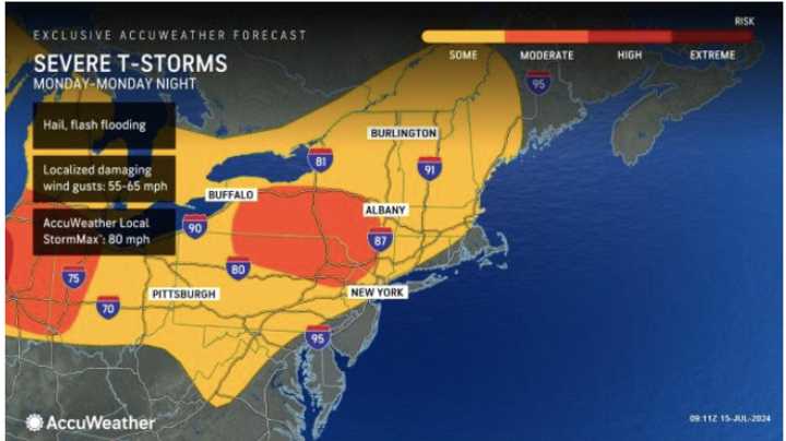
Storms could become more widespread late in the afternoon Monday and will remain possible into the early overnight hours of Tuesday, July 16.
More afternoon and evening storms are possible on Tuesday and Wednesday, July 16, as the heat indices climb above the 100-degree mark.
Check back to Daily Voice for updates.
Click here to follow Daily Voice Stony Point and receive free news updates.