Find Your Daily Voice
Mt. Kisco
Your Local News for Mount Kisco, New York
Saturday, apr 27
44°
Follow
News
Schools
Business
Obituaries
Police & Fire
Weather
Lifestyle
Politics
Sports
Traffic
Real Estate
Tags
Jobs
Shop
Support Us
Mt. Kisco
Follow
Find Your Daily Voice
News
Schools
Business
Obituaries
Police & Fire
Weather
Lifestyle
Politics
Sports
Traffic
Real Estate
Tags
Jobs
Shop
Support Us
Home
About us
All sites
Advertise with us
Contact us
Terms of use
Privacy policy
Code of ethics
Site Map
© 2024 Cantata Media
44°
Saturday, apr 27
Tag:
Wind Damage
News
Ida Knocks Out Power To Thousands In Hudson Valley
Thousands in the Hudson Valley were left in the dark overnight as Tropical Depression Ida rocked the region, felling trees and downing power lines with whipping winds and flooding rains. As of 10 a.m. on Thursday, Sept. 2, tens of thousands of Hudson Valley residents were still reporting power outages following the wreckage caused by Ida, which provided flooding rain and winds topping 50 mph to some parts of the region. Con Edison was reporting 16,520 of its 360,045 Westchester customers were still without power, with more than a thousand in the Village of Mamaroneck (4,886), Town of Mamaro…
Weather
Lines Of Severe Thunderstorms Sweeping Through Area With Ping-Pong-Ball-Size Hail, 60 MPH Winds
Several lines of scattered, severe thunderstorms are sweeping through the region from west to east. One line is in New York City just before 6 p.m. Monday, July 6. Ping-pong-ball-size hail (of about 1.5 inches in diameter) and 60 miles-per-hour wind gusts have been reported. The hail could injure people and animals, the National Weather Service warns. "Expect hail damage to roofs, siding, windows, and vehicles," the weather service said. "Expect wind damage to trees and power lines." Other lines are potent storms have been reported west of the Hudson River in the area…
Weather
Severe Thunderstorm Watch Issued: Line Of Storms Moving West To East
With a line of storms approaching the region from the west, a Severe Thunderstorm Watch has been issued for much of the area. The watch, which went into effect just before 5 p.m. on Thursday, Aug. 8, lasts until midnight and includes Westchester, Fairfield, Putnam, Rockland, Orange and Dutchess counties. The main threat from the line of storms is wind damage with the most likely time frame for storm activity being from 8 p.m. to 11 p.m. Thursday. Some of the storms will include torrential downpours, frequent lightning and thunder. Large hail is possible. A few storms may produce damag…
Weather
Severe Weather Alert: Strong Storms With Gusty Winds Could Cause Power Outages, Flooding
Look for the week to end the same way it started. Namely, with strong thunderstorms accompanied by gusty winds that could cause power outages and drenching rain that may lead to flooding. The storms are expected on Saturday afternoon into Saturday evening, July 6, ahead of a cold front, a similar scenario to the severe storms that slammed the region on Sunday, June 30, also ahead of a cold front. That storm system with strong winds led to numerous downed trees, tree limbs and utility lines, causing tens of thousands of power outages and several deaths in the region. There could be a previe…
Weather
Eye Of The Storm: Morning Update As Dangerous Nor'easter Arrives
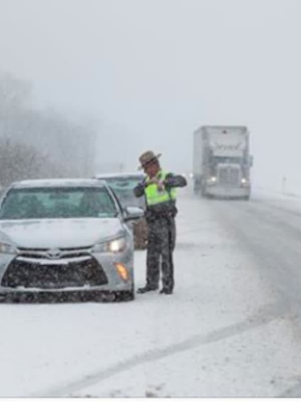
Taconic Closure, I-684 Crash Among Numerous Incidents On Slick Roadways Projected Snowfall Totals Increase A dangerous Nor'easter will hit the tristate area from Thursday night into Saturday morning, bringing with it something of everything: Snow, heavy rain, damaging winds that could cause power outages and possible flooding. Here's a look at the timeline of the storm: Friday morning: Rain will mix with snow and be all snow at times farther north. Temperatures will fall during the day Friday into the low 30s during the afternoon, with winds between 25 and 30 miles per hour, gusting to as…
Weather
Eye On The Storm: A Look At Timing For Dangerous Nor'easter
Click here for an updated story: Projected Snowfall Totals Increase As Fierce Nor'easter Nears A dangerous Nor'easter will hit the tristate area from Thursday night into Saturday morning, bringing with it some snow, heavy rain, damaging winds that could cause power outages and possible flooding. Here's a look at the timeline of the storm: Thursday evening: Rain arrives, mainly after 7 p.m. with up to an inch of accumulation possible overnight Friday morning: Rain will mix with snow and be all snow at times farther north. Temperatures will fall during the day Friday into the low 30s during…

 44°
44°