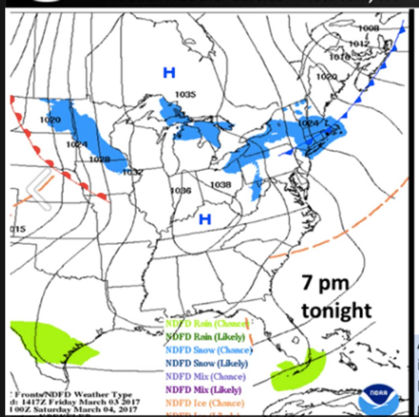

Snow showers and localized snow squalls are expected into early Friday evening, the National Weather Service said in a statement.
Winds gusts to 40 miles per hour, brief heavy snowfall, poor visibilities and localized accumulations of up to nearly an inch are possible.
The best chance for snow in the Hudson Valley will be between 4 p.m. and 6 p.m. Friday, according to AccuWeather.com.
Any areas that experience heavier snow showers or snow squalls will also have potential to experience flash freeze conditions, as temperatures rapidly drop below freezing behind the arctic frontal passage late in the afternoon into early Friday evening.
The Arctic front Iwill also bring with it some very cold temperatures into Saturday. Highs on Saturday will not make it above freezing for much of the area. This will make it feel more like the single digits above zero Friday night (with isolated areas below zero) and teens on Saturday.
Sunday will be sunny with a high in the mid-30s.
Check back to Daily Voice for updates.
Click here to follow Daily Voice Mount Pleasant and receive free news updates.