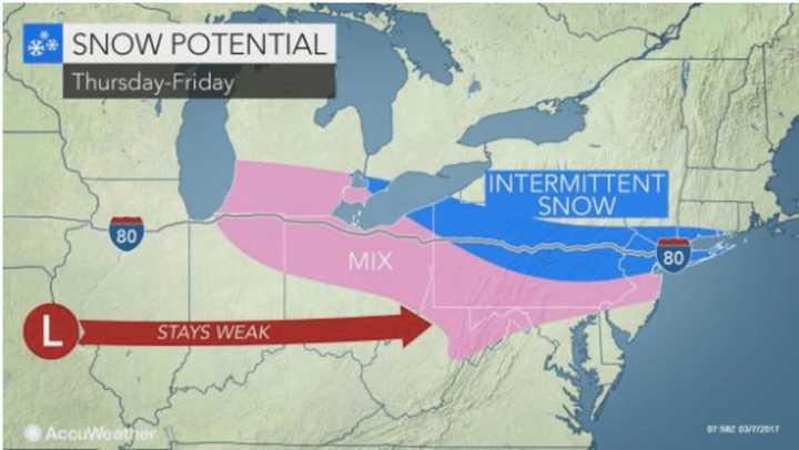
“The Northeast has had everything from frigid cold this (past) weekend and warm spells early this week but has largely avoided snow recently,” AccuWeather Chief Meteorologist Elliot Abrams said. “But late this week, a storm will sneak in from the west, and it could bring snow."
“Along with the late-week threat, there can be additional threats this weekend and next week,” Abrams said.
There will be periods of rain both Tuesday and Wednesday with daytime highs in the 50s both days.
After a sunny day Thursday with a high in the mid-40s, the snow chance begins after 10 p.m. Thursday and lasts through around 2 p.m. on Friday.
It is too early to project possible snowfall accumulations as there is still uncertainty as to the storm's track.
More snow is possible in the area during the weekend as a second storm is expected to impact the Northeast on Saturday into Sunday. Current models show that system tracking farther south of New York City, but the path could change.
Check back to Daily Voice for updates.
Click here to follow Daily Voice Mount Pleasant and receive free news updates.
