Find Your Daily Voice
 44°
44°
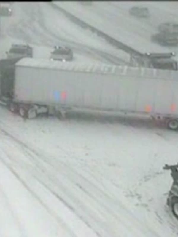
Cuomo Declares State Of Emergency In Westchester
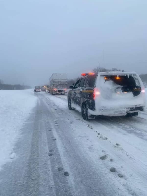
With New York combating the first big snowstorm of 2021, Gov. Andrew Cuomo has declared a state of emergency in the Hudson Valley.
On Monday, Feb. 1, Cuomo declared a state of emergency in Sullivan, Ulster, Dutchess, Orange, Putnam, Rockland, Westchester, and three other New York counties as several more inches of snow are expected to fall over the course of the late morning and afternoon.
Cuomo also cautioned that the Long Island Expressway, I-84, and other major roadways could face travel bans if snowfall rates reach a rate of two to three inches per hour. A travel advisory has also been …
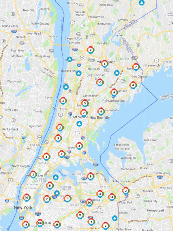
How Much Snow Did You Get? A Look At Totals From The Region
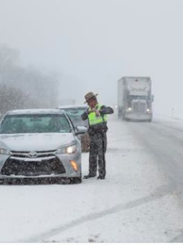
A strong cold front moving through the area started with a storm system that brought accumulating snow to the region, leading to delayed school starts and some closures on Wednesday, Dec. 11.
Here are some selected snowfall totals from the region. Add the total for your town by leaving a comment below.
Westchester County
Armonk, 2.8 inches, 7:30 a.m. Wednesday, Dec. 11
North Salem, 3 inches, 8 a.m. Wednesday, Dec. 11
Nassau County
Manhasset, 1.2 inches, 7:45 a.m. Wednesday, Dec. 11
Merrick, 1.8 inches, 8 a.m. Wednesday, Dec. 11
New Hyde Park, 1.0 inches, 5:40 a.m. Wednesday…
by
Daily Voice