

Some school districts are closed or on two- and three-hour delayed starts.
Rainfall totals of 2 to 4 inches are expected with locally higher amounts of around 5 inches and more.
Along coastal areas, wind gusts of 45 to 60 miles per hour have been reported, making those areas among the hardest hit by power outages.
According to poweroutages.us, at around dawn on Monday, Dec. 18, there were a total of 150,000 outages in New York, New Jersey, Connecticut, Massachusetts, and Rhode Island.
At around 6:30 a.m. Monday, more than 56,000 customers are without power in Connecticut, according to Eversource, United Illuminated, and Norwich Public Utilities.
The most outages have been reported in Guilford along the New Haven County coast (1,800 outages), Shelton (near the border of Fairfield and New Haven counties), and Greenwich (1,200), along Fairfield County's Gold Coast.
Numerous outages have also been reported farther north and inland due to downed trees, including 1,800 in Newtown and 1,300 in Bethel in northern Fairfield County.
On Long Island, about 7,000 are without power with over 4,000 of those customers in Nassau County.
About 2,700 outages are being reported in Eastern Massachusetts, with the most in Carver (650) near Cape Cod Bay in Plymouth County.
The heaviest rainfall and strongest winds are expected to wind down at around midday on Monday, followed by gradual clearing late in the afternoon and into the evening as the system is moving east a bit faster than had been predicted earlier.
Approximately 60,000,000 along the East Coast are being affected by the storm.
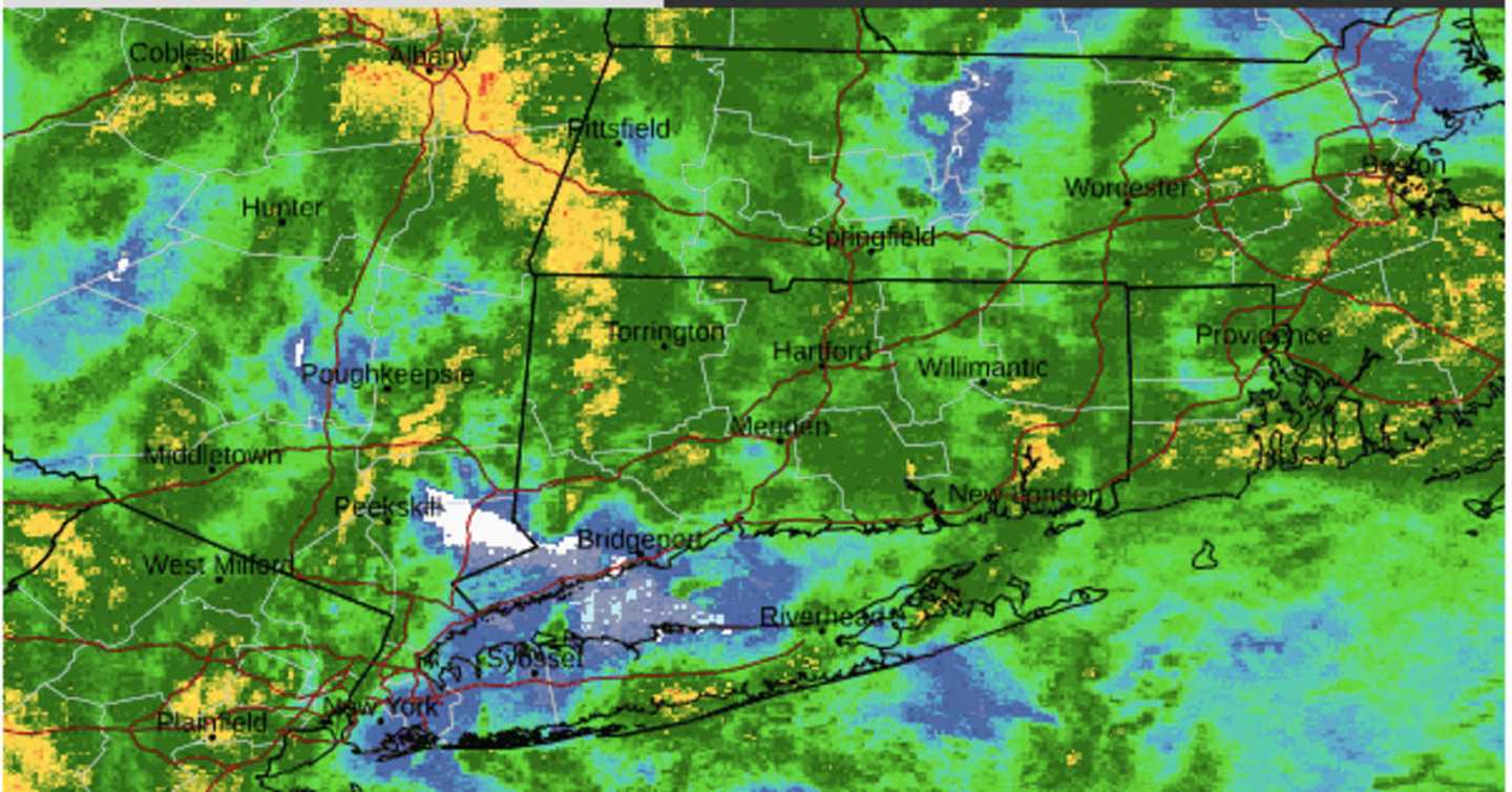
For a look at the latest projected rainfall totals by AccuWeather.com, click on the second image above.
Click on the third image above, for a look at areas with the strongest wind gusts.
After the system pushes off the coast, the rest of the week will be dry with mainly sunny skies and a high temperature of around 40 degrees each day from Tuesday, Dec. 19 through Saturday, Dec. 23.
Check back to Daily Voice for updates.
Click here to follow Daily Voice Briarcliff and receive free news updates.