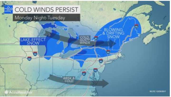
The tristate area's first White Christmas since 2009 could be followed by a storm bringing more snow to the region over New Year's weekend.
The potential for snowfall will come as a result of two storm systems with snow and ice -- one moving across the Midwest and the moving up from the South. How the storms interact will determine the snow threat for this region the end of the week, says AccuWeather.com.
“The potential for a more substantial snowfall will be possible across the mid-Atlantic and Northeast if the northern storm links up with the southern storm,” AccuWeather Long-Range Meteorologist Max Vido said.
After partly sunny and frigid days Tuesday through Thursday, the chance for snow starts Friday and continues through New Year's Eve on Sunday, with high temperatures in the mid-20s each day.
New Year's Day will be mostly cloudy and bitterly cloud, with the high temperature struggling to climb above 20 degrees.
The sun will return next Tuesday, Jan. 2, but the cold air continues with a high in the low-20s.
Check back to Daily Voice for updates.
Click here to follow Daily Voice Armonk and receive free news updates.
