Gusty westerly winds will arrive ahead of the storm with frequent gusts of between 25 and 45 miles per hour.
Here's a day-by-day look at what to expect:
Friday, Nov. 22: Mostly cloudy with some light rain, mainly between 10 a.m. and 3 p.m. Sun will break through at times later in the afternoon. The high temperature will be in the low 50s. Winds of 15 mph will be accompanied by the stronger gusts in the evening and overnight.
Saturday, Nov. 23: It will be sunny during the morning and into the late afternoon with a high temperature in the mid 40s.
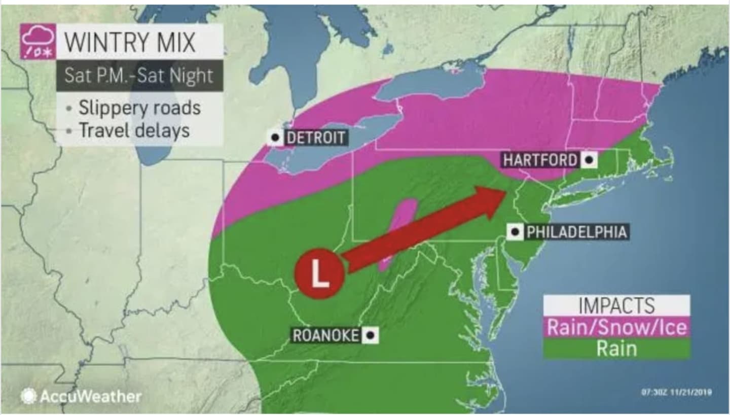
Clouds will increase during the evening with rain arriving sometime after 9 p.m. There will be a mix of snow and rain farther north and inland (mainly north of I-84) as the overnight low temperature will be right around the freezing mark. The window for the wintry mix in those areas is from about 10 p.m. until 4 a.m. (See image above.)
Sunday, Nov. 24: Mixed precipitation farther north will change back to rain as the temperature rises on a mostly cloudy, raw and rainy day in which the high temperature will climb to the low to mid 40s. There is a 50 percent chance of rain during the day.
Total rainfall will be up to a half-inch.
Monday, Nov. 25: Sunny, with a high temperature in the mid to upper 40s.
Tuesday, Nov. 26: Mostly sunny with a high temperature in the low 50s.
Check back to Daily Voice for updates.
Click here to follow Daily Voice Armonk and receive free news updates.