
While forecasters are uncertain of general conditions and snow totals, they are warning of strong winds and coastal flooding, according to the National Weather Service. Where the storm tracks will largely determine how much snow accumulates.
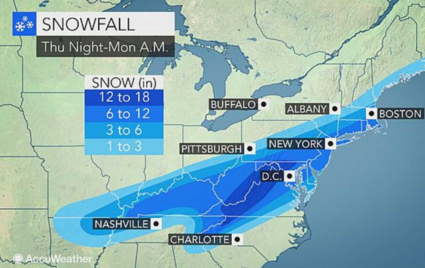
Forecasters are expecting to learn more about the approaching storm late Wednesday and Thursday. Most models are predicting snowfall of anywhere between 3 and 12 inches for the Hudson Valley, with lesser amounts north and east of New York City projected.
Parts of the area could see snow flurries Wednesday night, with most of the activity between 8 p.m. and midnight.
The outlook for Wednesday, Thursday and Friday calls for mostly sunny skies each day with highs in the mid 30s.
Snowfall from the weekend storm is expected to begin sometime after midnight or 1 a.m. Saturday.
The storm could result in wind gusts of up to 60 miles per hour, and, coupled with a full moon on Saturday, could also result in high tides as well.
Though the severity of the storm remains to be seen, forecasters said it was never too late to start taking precautions.
Check back to Daily Voice for updates on the track and severity of the storm.
Click here to follow Daily Voice Armonk and receive free news updates.