Find Your Daily Voice
 47°
47°
Here's Your Best Chance To Catch Upcoming Perseid Meteor Shower
The highly-anticipated Perseid meteor shower will return with a stunning sky show for viewers around the world.
Considered the most scenic meteor shower of the year, viewers can enjoy spectacular sights each July and August.
The shower became active on July 17, and the number of meteors increase every night until the shower's peak, on Saturday, Aug. 12, and Sunday, Aug. 13, according to Royal Museums Greenwich (RMG).
The best time to step outside for a sky-gaze? Head out in the early-morning hours, before sunset, the week before or after the August peak.
According to RMG, the m…
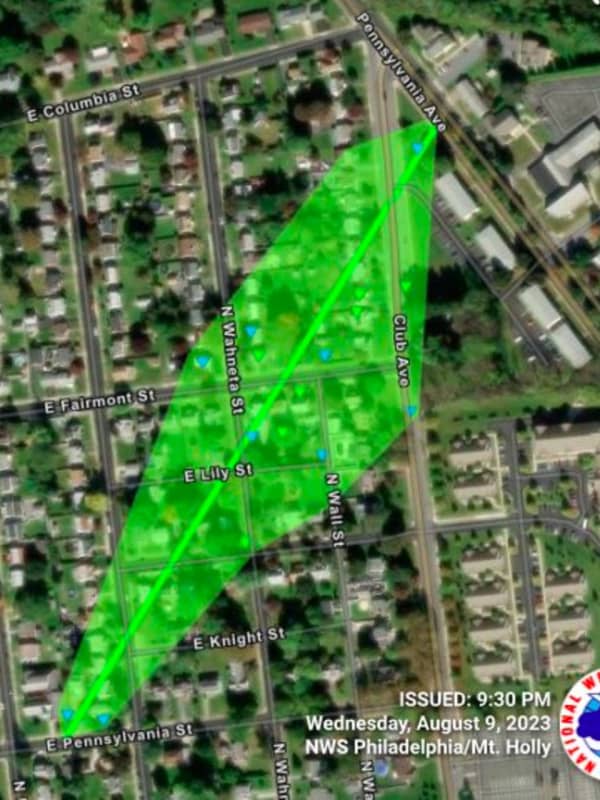
Tornado May Have Touched Down In These PA, NJ Towns
A tornado may have hit Lehigh Valley and Delaware River towns Monday, Aug. 7.
The National Weather Service sent survey teams to evaluate an area west of Milford in New Jersey, as well as areas in eastern Allentown, western Bethlehem, and Hellertown/Coopersburg in Pennsylvania.
A tornado watch has been issued for parts of Delaware, Maryland, New Jersey, New York and Pennsylvania until 11 PM EDT Posted by US National Weather Service Philadelphia/Mount Holly on Monday, August 7, 2023
Storm Photos and comments shared by residents show the severity of the damages the strong storms caused:
…
Storms Usher In Comfortable Air, But Not Without September Surprise
A cold front that accompanied a potent round of thunderstorms ended the first heat wave of the season.
Will there be another heat wave? The answer to that is not only yes, but later than what is typically normal.
In fact, it could happen in the Northeast right around Labor Day on Monday, Sept. 4, according to AccuWeather.com, which says the window for summery-type weather is "during the first week or two of September, slightly later than the historical average for the latest 90-degree day."
But for now, a refreshing blast of cooler air has arrived, with conditions on Sunday morning, July 3…
Severe Weather Watch Issued As Thunderstorms Threaten Region, More Sweltering Heat Ahead
A severe weather watch was issued by the National Weather Service across much of the region Thursday, July 27.
As temps hovered around 95 degrees, thunderstorms were taking aim across parts of Maryland, Pennsylvania, New Jersey, and Virginia.
Thunderstorms were expected in the afternoon, with showers likely in the evening and overnight.
Temps were expected to surge through Saturday, July 29.
Temps are expected to surge on Friday.AccuWeather
Heat map AccuWeatherAccuWeather
Friday, July 28 will be sunny with a high near 95, but could feel as hot as 103, the NWS says.
Saturday will h…
Severe Flood Threat: Intense Downpours Forecast This Weekend Across Northeast
The Northeast is in store for another rainy weekend, this time with a possibility of flooding.
According to AccuWeather meteorologists and the National Weather Service, severe downpours are posing a threat to the region.
Strong to severe storms were expected across the region Friday, afternoon, July 14, and continue over the course of the weekend, the National Weather Service says.
Showers and t-storms, a few of which could be severe, are likely mainly during the afternoon & evening hours the next... Posted by US National Weather Service Baltimore/Washington on Friday, July 14, 20…