A flood watch for much the region from 1 p.m. Saturday through through Sunday evening as a low-pressure storm is set to bring up to drop two inches of rainfall, according to the NWS.
Paired with the multiple rounds of rainfall from the past several days, this new round "is likely to bring several river gauges into flood stage across the Passaic, Raritan, and Rancocas basins by Sunday," the NWS said.
By Sunday is expected to be partly sunny with scattered showers and a high near 50 before temps drop in evening.
According to the NWS, parts of Bergen, Morris, Sussex, Warren, Hunterdon, Essex, Union, Passaic, and Hudson counties could see snow showers Sunday afternoon and evening.
Urban flooding will be a threat around the Philadelphia and Allentown metro areas as the heaviest rain moves through late Saturday into the night.
The counties under a flood watch are:
Bergen (eastern and western), Camden, Essex (eastern) Gloucester, Hunterdon, Mercer, Middlesex, Morris, Northwestern Burlington, Ocean, Somerset, Southeastern Burlington, Sussex, Warren and Western Monmouth in New Jersey; and Berks, Carbon, Delaware, Eastern Chester, Eastern Montgomery, Lehigh, Lower Bucks, Monroe, Northampton, Passaic, Union, Philadelphia, Upper Bucks, Western Chester and Western Montgomery in Pennsylvania are under a flood watch.
The NWS says excessive runoff may result in flooding of rivers, creeks, streams, and other low-lying and flood-prone locations.
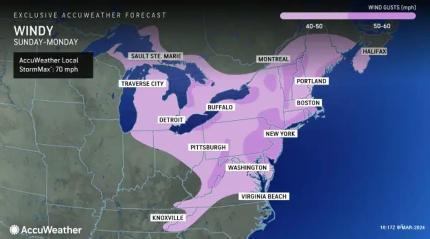
According to AccuWeather, wind gusts up to 50 mph are expected Sunday night into Monday.
Click here to follow Daily Voice Saddle Brook-Elmwood Park and receive free news updates.