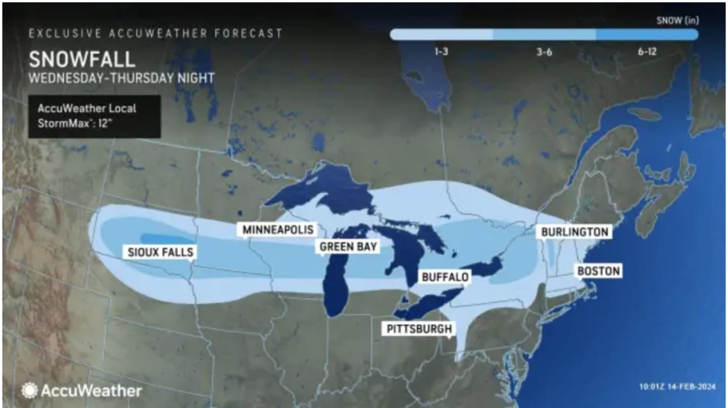
UPDATE: 1 To 3 Inches Of Snow Expected In New Storm Nearing NJ, PA
The quick-hitting storm is expected to arrive Thursday night, Feb. 15 and last into Friday, Feb. 16, according to AccuWeather.
Temps will dip into the low 20s Wednesday night, Feb. 14, while Thursday will have a high near 40, the National Weather Service says. Come sundown, though, temperatures will plummet to near 30, according to the NWS.
Cue the snow. Well, the flurries.
North Jersey is only expected to see a light dusting, but those in northern PA could see 1 to 3 inches, according to AccuWeather. The NWS says Sussex County, NJ and northwester parts of the state could get about .3 inches.
Friday will be sunny with a high near 40, however, more flurries are expected Friday night into Saturday, the NWS says. Accumulations are unlikely to exceed more than half an inch.
This is a developing story. Check back to Daily Voice for updates.
Click here to follow Daily Voice Fort Lee and receive free news updates.