The state DEP is seeking public comments on the proposed map through March 9 by clicking here or here.
The final Wharton Visiting Vehicle Use Map will be made available for download as a georeferenced PDF. Visitors driving through the state forest will be able to determine their location on the map in real-time on their mobile devices, even in areas with limited or no cellular service.
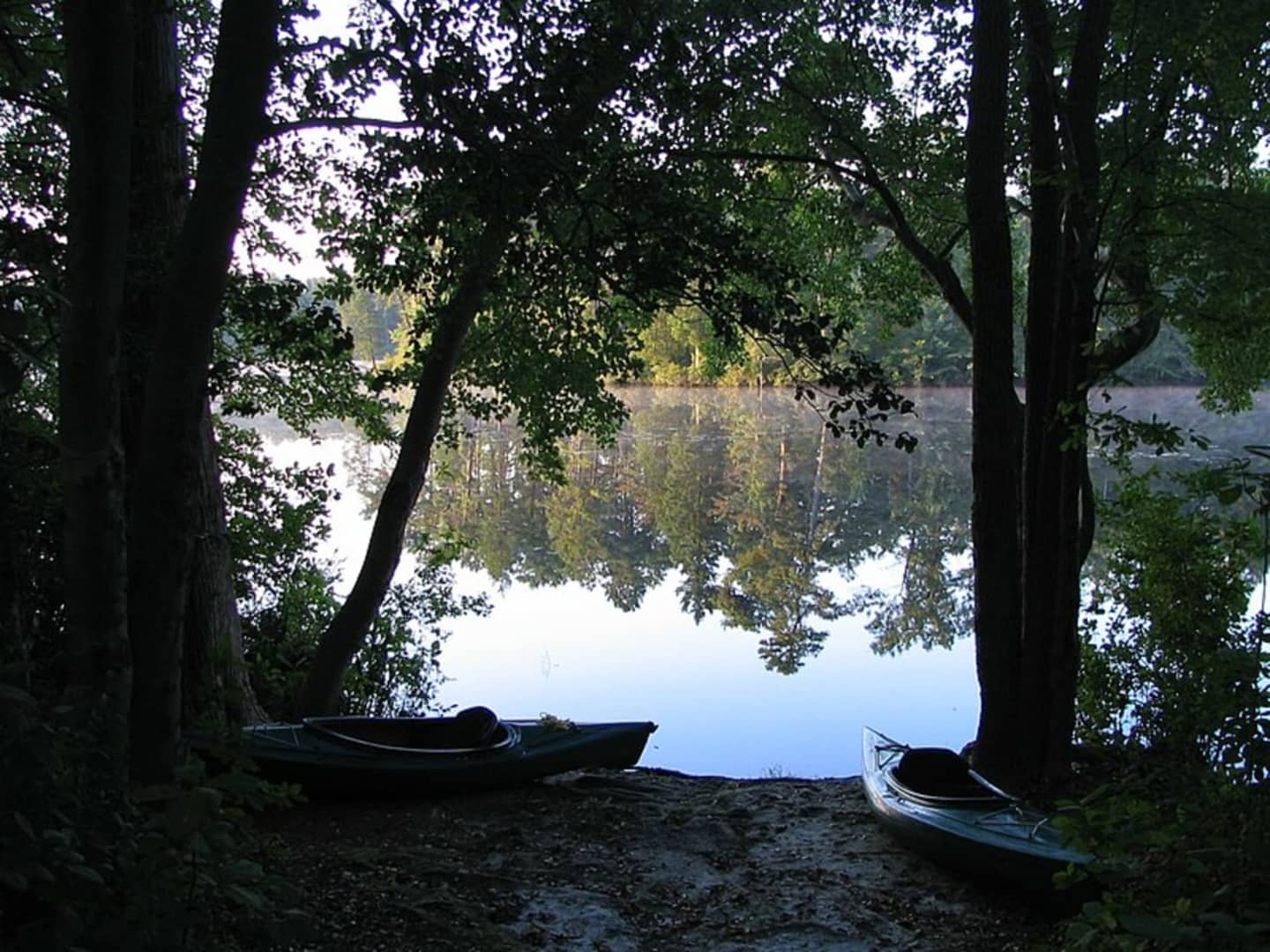
Wharton State Forest sprawls across parts of Atlantic, Burlington and Camden counties and is one of the most popular destinations in the state park system. It is in the heart of the million-acre Pinelands National Reserve.
More than 1,600 people submitted surveys about routes that were important to them at Wharton, DEP Commissioner Shawn M. LaTourette said.
"People visit Wharton for many different reasons, among them hiking, canoeing, camping, enjoying nature, fishing, hunting, horseback riding and driving along the forest’s many miles of sand routes,” LaTourette said.
A Visiting Vehicle Use Map with clearly defined driving routes and recreational access opportunities "is long overdue," the commissioner said, adding, "This map will become an important tool in ensuring responsible enjoyment of this natural and recreational treasure as well as a valuable resource guide to the many recreational opportunities Wharton offers.”
Click here for a video in which LaTourette describes the proposed visitors' vehicle use map.
Click here to make a public comment.
Click here to follow Daily Voice Burlington and receive free news updates.