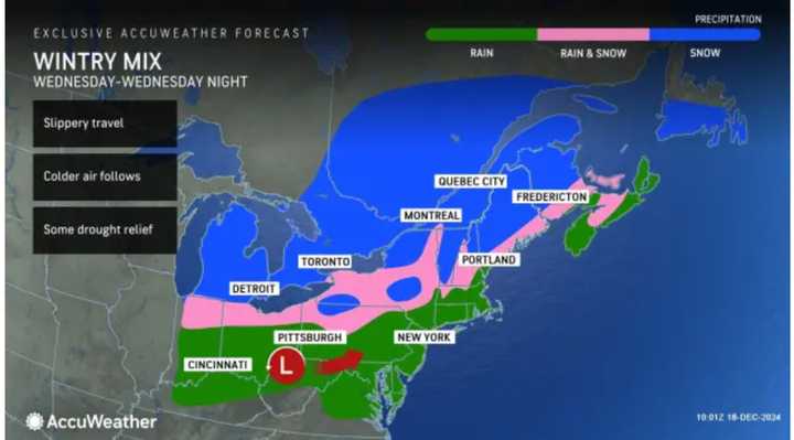
The time frame for the first storm is from late Wednesday afternoon, Dec. 18 through the event, according to the National Weather Service.
Widespread rainfall of about 1 inch is expected. Some northern areas should see a transition to a wintry mix and snow in the evening. For a look at precipitation types by location, see the first image above.
Click on the second image above for snowfall projections. Areas in the lighter shade of blue are predicted to see 1 to 3 inches of snowfall, with 3 to 6 inches forecast in those areas in the darker shade in the first image above.
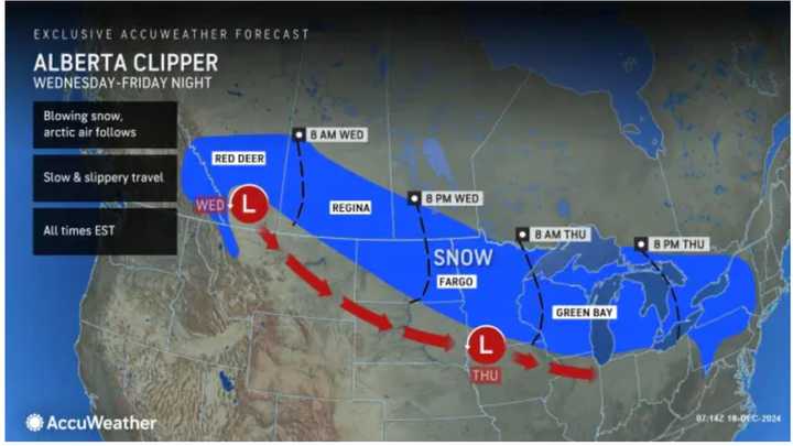
After a bright, sunny break on Thursday, Dec. 19, the next storm, an Alberta Clipper system, will arrive during the afternoon on Friday, Dec. 20. (Click on the third image above.)
It will bring a mix of snow and rain inland, and rain farther south.
The window for precipitation will be into Saturday morning, Dec. 21, which is the winter solstice. That will be followed by clearing, sunny skies, and cold conditions.
It will remain sunny amd brisk on Sunday, Dec. 22.
Check back to Daily Voice for updates.
Click here to follow Daily Voice Taneytown-Union Bridge and receive free news updates.


