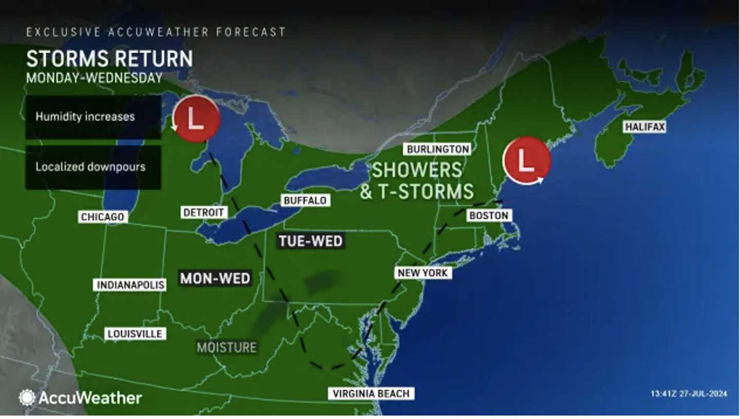
Scattered showers and storms that arrived overnight will continue at times throughout Monday, July 29, amid an increase in humidity, especially in areas farther south and near the coast.
"Along with the storm pushing toward the coast, surging moisture to the west will lead to a general uptick in shower and thunderstorm activity," says AccuWeather.com.
Tuesday, July 30, will be partly sunny and humid, with high temperatures in the mid-80s, and a chance for showers and storms starting shortly after daybreak and continuing throughout the day, according to the National Weather Service.
Look for more of the same on Wednesday, July 31, with showers likely and thunderstorms possible during the day with high temperatures in the low 80s.
Gradual clearing will begin after dark, leading to a mostly sunny day on Thursday, Aug. 1, as the calendar flips to August. It will be warmer, with high temperatures near 90 degrees.
The outlook for Friday, Aug. 2, calls for partly sunny skies, a high temperature on either side of 90 degrees and a slight chance for showers and storms in the afternoon and evening.
Check back to Daily Voice for updates.
Click here to follow Daily Voice Springfield and receive free news updates.