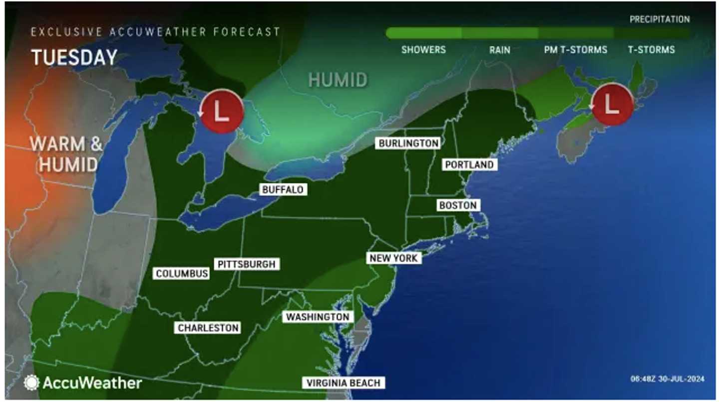
Tuesday, July 30, started with patchy morning fog. According to the National Weather Service, skies will gradually become partly sunny, and the temperature will rise into the mid-80s.
Scattered storms with damaging winds will accompany a warm front in the afternoon, with storm activity possible through the evening into the early morning hours of Wednesday, July 31.
Look for more of the same on Wednesday, July 31, with showers likely and thunderstorms possible during the day with high temperatures in the low 80s.
Some of the storms could be severe with drenching downpours. About a half-inch of rainfall is expected.
Gradual clearing will begin after dark, leading to a mostly sunny day on Thursday, Aug. 1, as the calendar flips to August. It will be warmer, with high temperatures near 90 degrees.
Friday, Aug. 2, will be partly sunny with a high temperature on either side of 90 degrees, and a chance for showers and storms in the evening.
The outlook for Saturday, Aug. 3 calls for mostly sunny skies, a high temperature in the upper 80s, and another chance for showers and storms in the afternoon and evening.
Check back to Daily Voice for updates.
Click here to follow Daily Voice Darien and receive free news updates.