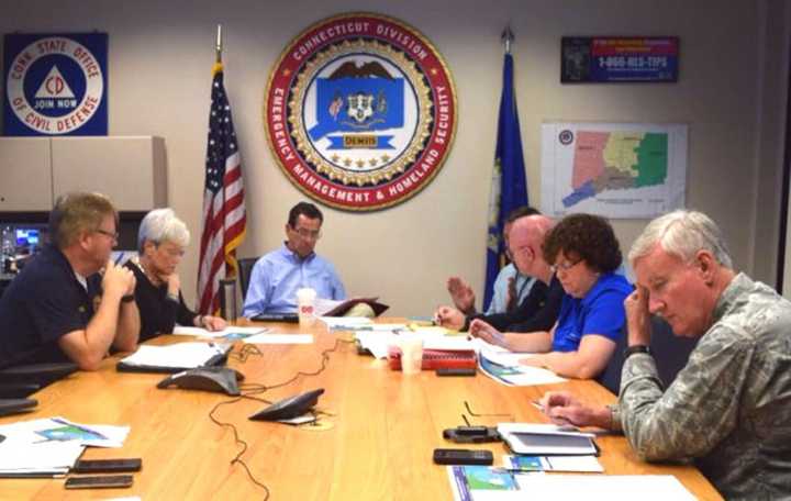
"We are closely monitoring the tropical storm," Malloy said. "The latest forecast suggests the storm will have minimal impact on the state of Connecticut but the biggest concerns are minor to moderate coastal flooding during the high tide cycle, and dangerous rip currents as well as wind conditions.
He reminded residents that "Tropical storm warnings have been issued for the coastal sections of Fairfield, NewHaven, Middlesex and New London counties."
"We must keep our guard up, weather conditions can change quickly."
The biggest threat beyond coastal flooding is winds of 20 to 30 mph with gusts of 40 to 50 mph, which could cause power outages, he said.
Also, "depending on conditions and wind, Metro-North may suspend service if winds hit 40 mph," which is not expected to happen, Malloy warned, reminding those who rely on rail to monitor the schedule.
Hermine, which made landfall as a hurricane on Sept. 2 just east of St. Marks, Fla., has been downgraded to post-tropical storm status, shifting across the Atlantic and moving slowly toward New England, according to the National Weather Service.
On Sunday morning, Hermine was expected to meander slowly off-shore in the mid-Atlantic for the next couple of days, the Weather Service said.
Sustained winds of 20 to 30 mph with gusts of 40 to 50 mph are predicted for the coastline, with gusts possible farther inland. The strong winds and gusts could cause damage to roofs and knock down trees and power lines, causing power outages. Unsecured objects such as outdoor furniture could become projectiles.
Widespread moderate coastal flooding is possible at high tide in low-lying areas, starting tonight and into the week, with storm surges of 2 to 4 feet. Dangerously rough surf and a life-threatening rip current are possible.
Rainfall of a half-inch to one-and-a-half inches is possible with the storm across southeast Connecticut, with locally higher amounts possible.
Some road could be impassable due to flooding or fallen debris.
Malloy urged residents to download the new CTPrepares app on mobile devices. It "provides information people can use before, during and after storms," he said.
Also, all Connecticut State Park Campgrounds will close at noon Sunday. Campers who had reservations for Sunday, Monday or beyond can obtain refunds.
Also, Malloy is partially activating the Connecticut Emergency Operations Center beginning at 6 p.m. Sunday to monitor weather conditions.
Also, the state has held conference calls with Eversoruce and United Illuminating on the threat to electrical power. Both companies are prepared to deploy workers in the event of outages, but Malloy reminded residents to patient in that event because "making repairs in high winds is not safe."
"If you lose power and the winds are 30 mph or above, it is very difficult if not impossible to repair that outage because we can't put the bucket trucks up in those kind of winds," Malloy said in a morning press conference. "So patience will important." In a slow-moving storm, it could be a while.
The state also held a conference call with over 160 local leaders to prepare municipal leaders and promise state help in the event of any problems from Hermine.
Malloy also asked residents to check on any neighboring senior citizens to see whether they need help preparing for the storm.
Anyone who needs shelter before or after the storm, should call 2-1-1 to find the nearest locations, Malloy said.
Click here to follow Daily Voice Bridgeport and receive free news updates.
