Find Your Daily Voice
Snow, Hail Could Be Part Of Damaging Mid-Week Storm Headed To NJ, PA: Forecasters
Forecasters are tracking a gusty storm bringing rain and some snow to parts of New Jersey and Pennsylvania.
Rain is expected to begin across both states Tuesday evening, Feb. 27, and continue through Wednesday morning, Feb. 28, the National Weather Service says.
☔️ Multiple rounds of rain & storms will occur across central PA through Wednesday evening, Stay Weather Aware!
1⃣: Tues... Posted by US National Weather Service State College PA on Tuesday, February 27, 2024
While temperatures on Wednesday could reach a high of 60, a steep drop is expected in the evening to around 30, …
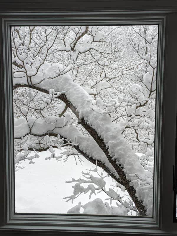
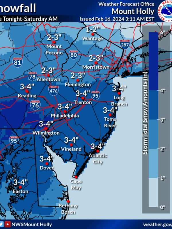
Forecasters Were Way Off: 13 Inches Of Snow Fell Unexpectedly In NJ, PA Towns
Four inches of snow at most was expected in the second snow storm of the week in New Jersey and Pennsylvania.
But much more fell.
In the Friday, Feb. 16 and Saturday, Feb. 17 storm, up to 13 inches of snow fell in some towns across the region, according to the National Weather Service.
Here's who got the most snow, according to the National Weather Service:
ATLANTIC, NJ: Beuna Vista, 3.3 inches; Hammonton, 2.8 inches; Somers Point, 2.2 inches
BERKS, PA: Lyons, 12 inches; Fleetwood, 9 inches; Blandon, 8.5 inches
BERGEN, NJ: Westwood 3 inches; Fair Lawn 2.5 inches; River Vale 2 …