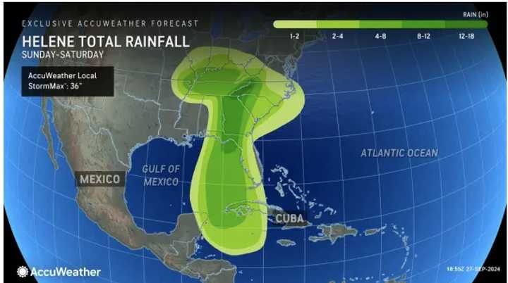
But the Northeast may feel some remnants from what is now a post-tropical cyclone in the form of cloudy skies and precipitation this weekend.
Helene made landfall along Florida's Big Bend as a Category 4 hurricane with 140 mile-per-hour winds Thursday night, Sept. 26.
It's expected to stall out over the Tennessee and Ohio River Valley on Saturday, Sept. 28 into Sunday, Sept. 29, the National Hurricane Center says.
That's when moisture spread to the east, leading to a chance of showers both days.
It will be cloudy throughout the weekend in the region with high temperatures around 70 degrees, according to the National Weather Service.
Look for conditions to brighten up a bit on Monday, Sept. 30 with partly sunny skies and a high temperature in the low 70s.
Clouds will increase Monday night and it will be cloudy and cooler on Tuesday, Oct. 1 wih a chance for showers during the day and at night. The high temperature will be in the low 60s.
Check back to Daily Voice for updates.
Click here to follow Daily Voice Middletown-Wallkill and receive free news updates.
