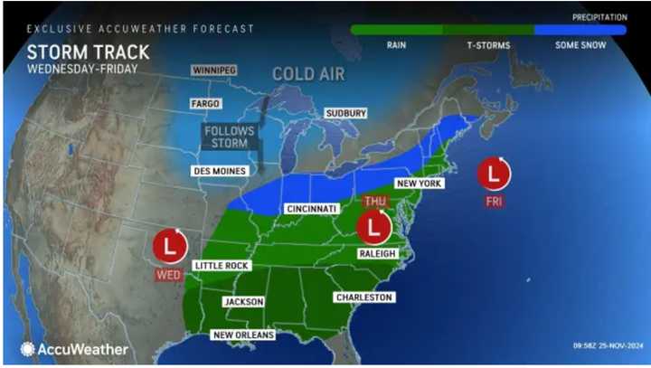
A frontal system will approach the area in the early hours of Tuesday, Nov. 26, leading to the first round of much-needed rain, starting overnight.
Precipitation will wind down from south to north.
Temperatures will range from the upper 50s to the low 60s, but it will feel colder Tuesday, with strong winds and gusts up to around 25 miles per hour.
Wednesday, Nov. 27, will be partly to mostly sunny, with a high temperature of around 50 degrees and calmer winds on Thanksgiving Eve.
The storm system will then move in overnight.
It will bring rain to most of the East Coast (shown in green), with some snow in areas displayed in blue. (See the image above from AccuWeather.)
The high temperature on Thanksgiving Day will be around 50 degrees, with higher temps farther south.
Rain and showers will be widespread on Thanksgiving morning before tapering off in the early afternoon.
Black Friday's outlook is now favorable, with mostly sunny skies and temperatures generally in the mid-40s.
Check back to Daily Voice for updates.
Click here to follow Daily Voice Burnt Hills and receive free news updates.
