"There is the potential for multiple rounds of showers and thunderstorms today into this evening as a frontal system impacts the area," the National Weather Service said in a Hazardous Weather Outlook statement issued early Monday.
"The main threats would be damaging wind gusts and an isolated tornado," the statement said. "Some of the storms will also produce heavy downpours, which could lead to localized flooding of urban, low lying and poor drainage areas."
The first round of storms is moving through from west to east during the morning commute, according to the National Weather Service.
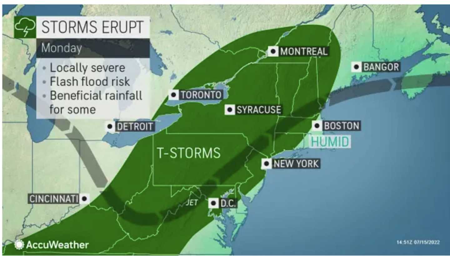
After it pushes through, there will be a break from the precipitation before another round of storms arrives in the afternoon on a mostly cloudy day with a high temperature in the low 80s. (See the first image above.)
The window for storm activity will last through the evening and into the early overnight hours leading into Tuesday morning, July 19. Some areas in the region could see flooding.
Dramatically warmer air will move in on Tuesday, which will be sunny and warm with a high temperature around 90.
Look for more of the same on Wednesday, July 20, with plenty of sunshine and a high in the low 90s.
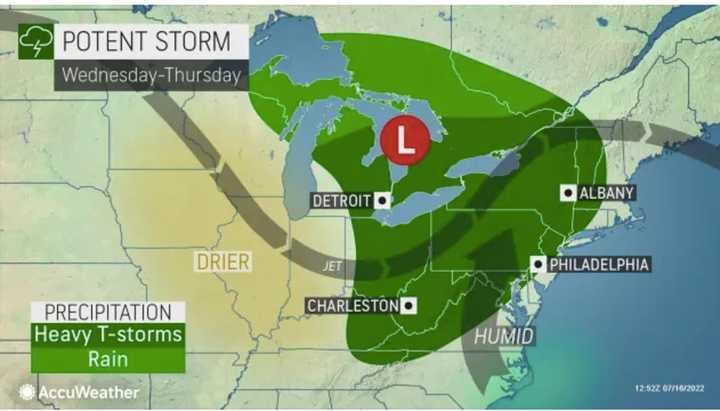
That will be followed by the arrival of a new storm system on Thursday afternoon, July 21. The current time frame for that system is from the mid-afternoon to the early evening. (See the second image above.)
Check back to Daily Voice for updates.
Click here to follow Daily Voice White Plains and receive free news updates.