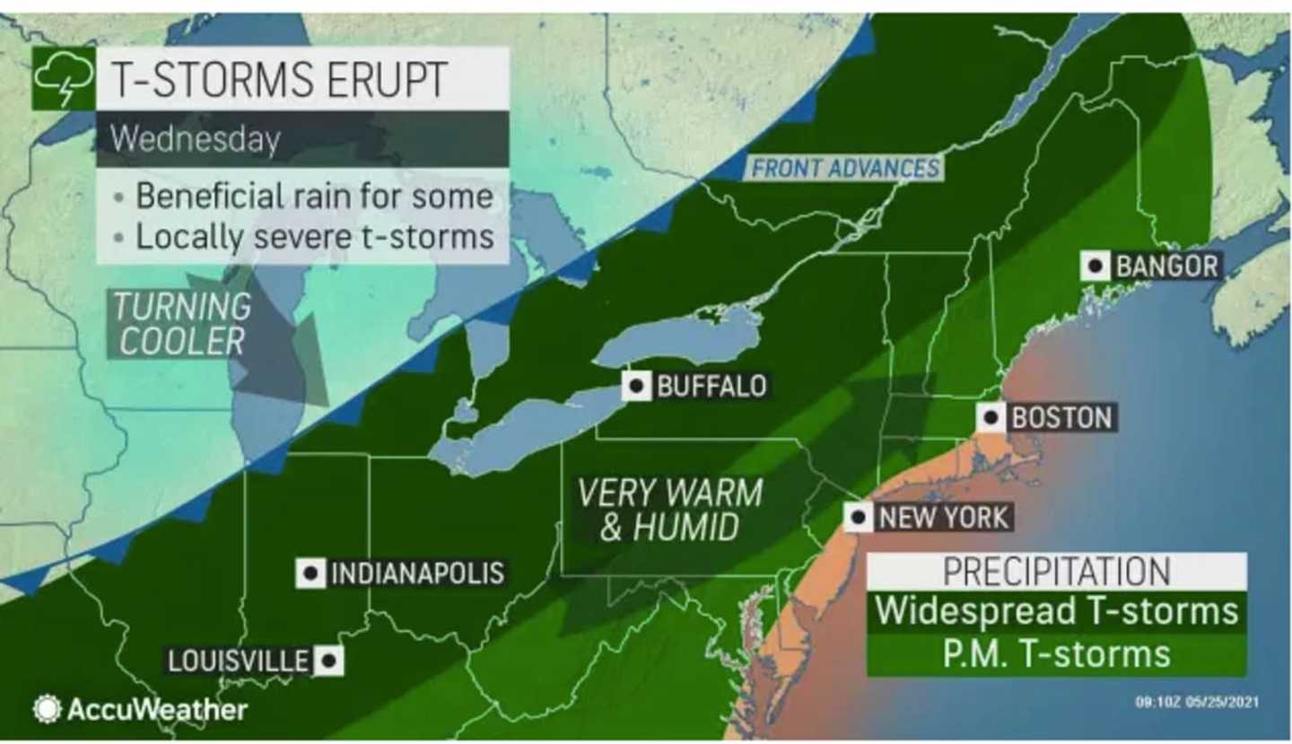
The time frame for the storm system, which will be ignited by an approaching cold front, is Wednesday afternoon, May 26 through Wednesday evening.
Scattered strong to severe thunderstorms are possible during that time, the National Weather Service said in a Hazardous Weather Outlook statement issued Tuesday, May 25.
"Strong to damaging wind gusts will be the main threat," the statement said.
Tuesday, May 25 will be another seasonable, dry day with a mix of sun and clouds and a high temperature in the low 70s before the storm system arrives.
The high temperature will shoot back up to the upper 80s to around the 90-degree mark on a breezy day on Wednesday, with higher humidity making it feel even warmer.
"One noticeable difference, in addition to the heat, will be significantly higher humidity levels on Wednesday, compared to this past weekend," said AccuWeather Meteorologist Matt Benz.
After a partly sunny start, clouds will increase, leading to a chance of showers and thunderstorms from late afternoon through the evening and overnight.
The current time frame for possible storm activity is from about 2 p.m. Wednesday until 2 a.m. Thursday, May 27.
It will remain warm Thursday with the high temperature in the low 80s with plenty of sunshine.
Temps will fall for the start of the Memorial Day weekend, with the high temperature Friday, May 28 only in the upper 60s with partly sunny skies to start, followed by a chance of rain and showers in the late afternoon into the evening.
Check back to Daily Voice for updates.
Click here to follow Daily Voice White Plains and receive free news updates.